
EuroSDR One-Day Workshop on Single Photon and Geiger-Mode LiDAR
27th November 2018
EuroSDR One-Day Workshop on Single Photon and Geiger-Mode LiDARNews as it happens! Keep in touch with the latest developments in business and technology in the regions or worldwide.
27th November 2018
EuroSDR One-Day Workshop on Single Photon and Geiger-Mode LiDAR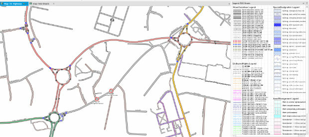
27th November 2018
miso Releases OS Highways Network Translator to the OpenSource Community27th November 2018
Orbit GT releases version 19 of 3D Mapping portfolio27th November 2018
Geospatial World Forum 2019 announces first 100 speakers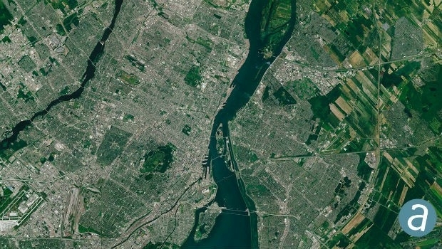
27th November 2018
SimActive Software Used for Large-Scale Photogrammetry Project26th November 2018
SSTL announces 35kg lunar comms mission for 2021
26th November 2018
ARBOR Presents Super Cap UPS with LoRa Sensor Nodes26th November 2018
Unveiling of Europe’s most modern satellite control centre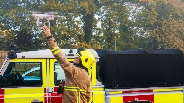
26th November 2018
FREQUENTIS paves the way for efficient use of drones in public safety26th November 2018
Barbara Bergmeier Appointed Head of Operations
26th November 2018
Terra Drone acquires Skeye to accelerate global expansion.
26th November 2018
Getmapping appoints Geosolutions Consultant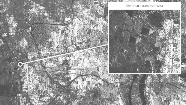
24th November 2018
SSTL releases first images from NovaSAR-123rd November 2018
Airbus launches a new branch of the app developer programme23rd November 2018
Rezatec to provide new water leak risk analysis tool23rd November 2018
Airbus and John Deere receive silver medal of SIMA innovation award23rd November 2018
UK Hydrographic Office presents Guyana with marine geospatial data23rd November 2018
Pix4D Dresses Up In Retro For Cyber Monday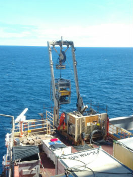
23rd November 2018
Fugro Generates Aud 10 Million Cost Saving
22nd November 2018
HERE Technologies has joined OGC as a Principal Member22nd November 2018
New GPS tracking system allows companies to manage assets
22nd November 2018
Maxoptra Real-Time Routing Helps Flanagan Flooring Deliver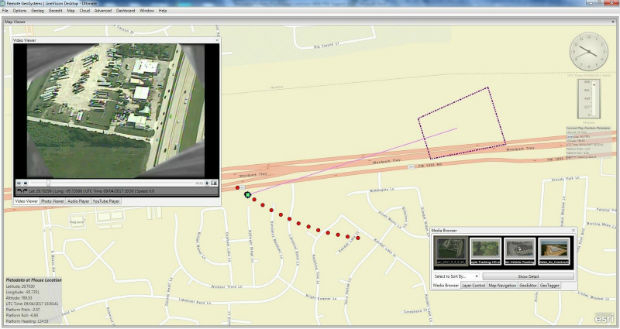
21st November 2018
Full Motion Video (FMV) Support to LineVision Desktop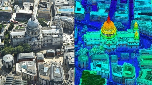
21st November 2018
Bluesky first to use Leica CityMapper to capture UK cities in 3D