
International Business Development Manager
19th March 2019
International Business Development ManagerNews as it happens! Keep in touch with the latest developments in business and technology in the regions or worldwide.
19th March 2019
International Business Development Manager
19th March 2019
Don't Miss The Premier GEOINT Event of the Year
19th March 2019
Trimble SX10 - The One that started it all
19th March 2019
Register for the free UltraCam Panther webinar on March 26

18th March 2019
How PrecisionHawk Helped History Hunt for Buried Treasure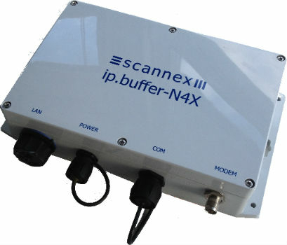
18th March 2019
Reliable Environmental Monitoring Data from Anywhere to Anyone!18th March 2019
Offshore Survey 2019 Announces Keynote Speakers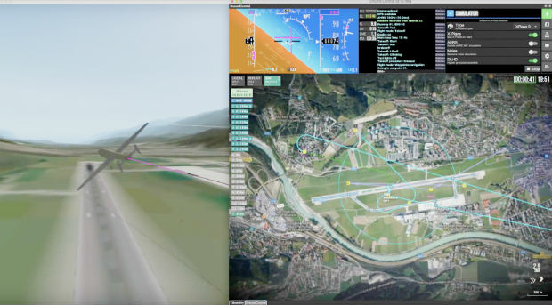
18th March 2019
UAVOS Presented A Simulator For Training Of The Customers' Staff
18th March 2019
Orbit GT selected in Top 5 for Smart Territories award at BIM World, Paris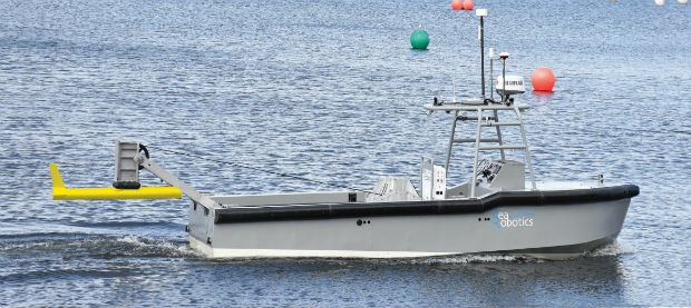
16th March 2019
SeaRobotics Corporation launches the SR-ENDURANCE 7.0
15th March 2019
OGC invites you to a rail-themed Integrated Digital Built Environment
14th March 2019
CompassCom® is Releasing CompassTrac® v7.3 MRM/ IoT Platform
14th March 2019
ADT and SFARA launches comprehensive fleet safety & compliance


14th March 2019
Rail Museum turns spotlight on role of Fugro's geotechnical expertise in HS2
14th March 2019
CycloMedia Technologies is Associate Sponsor at Geospatial World Forum 2019
14th March 2019
DFS takes leading position in the UTM world by investing in Unifly13th March 2019
The country’s most detailed map of roads and footways unveiled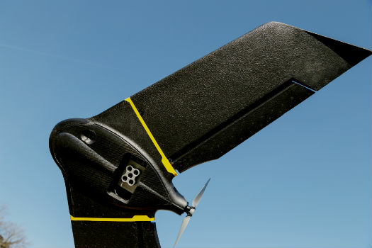
13th March 2019
Introducing the senseFly eBee X with MicaSense RedEdge-MX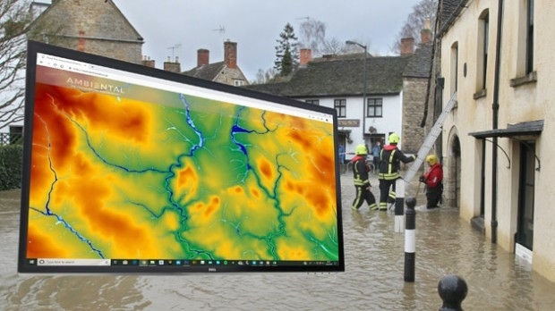
13th March 2019
Bluesky 3D Terrain Models Upgrade Ambiental Risk Analytics’ UK Flood Risk Map