
HawkEye 360 Launches First Commercial Product – RFGeo
4th April 2019
HawkEye 360 Launches First Commercial Product – RFGeoNews as it happens! Keep in touch with the latest developments in business and technology in the regions or worldwide.
4th April 2019
HawkEye 360 Launches First Commercial Product – RFGeo
4th April 2019
Wide Range of Cutting Edge Seminars and Workshops
4th April 2019
Anglo-Japanese motion sensing joint venture
4th April 2019
Bluesky Purchases UK’s First CityMapper Camera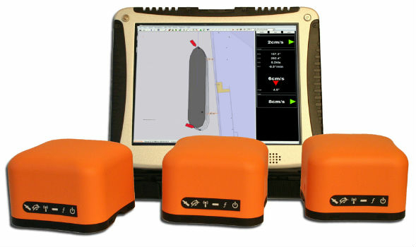


4th April 2019
Radius boosts telematics division with acquisition of Plant-i
4th April 2019
Webinar - Advanced DEM Editing with Correlator3D Version 8.1
3rd April 2019
OGC invites developers to the OGC API Hackathon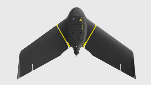
3rd April 2019
senseFly eBee as United States’ Most Popular Commercial Fixed-Wing.jpg)
3rd April 2019
Space tech set to help combat cocoa-fuelled deforestation3rd April 2019
Garmin® demonstrates datalink weather broadcast for pilots in Germany3rd April 2019
RIEGL will be attending and exhibiting at Automate 2019!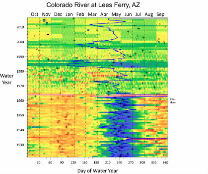
2nd April 2019
Golden Software Announces Time Series Data Visualization Webinar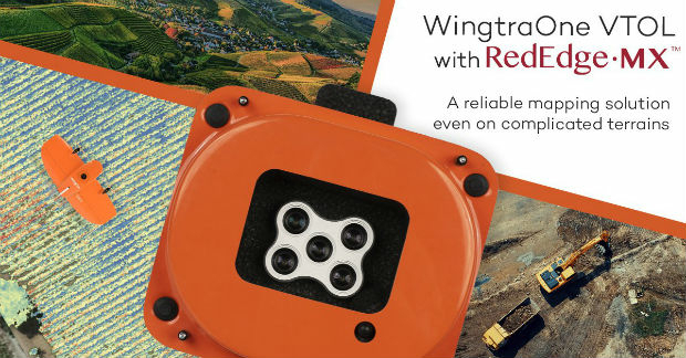
2nd April 2019
WingtraOne & RedEdge-MX: map complicated environments
2nd April 2019
Disasters Resilience 2019 & GEOSS Architecture Implementation Pilot
2nd April 2019
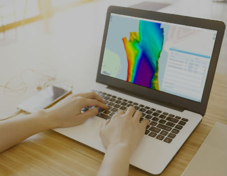
Teledyne CARIS Onboard 2.1 to be featured at Ocean Business 2019
2nd April 2019
JMHC LOGISTICS EXPANDS CTRACK TELEMATICS SOLUTION

2nd April 2019
SSTL and OSS Collaborate on Disruptive Smallsat SAR Payload
2nd April 2019
Tersus Launches David Plus, a Dual-antenna GNSS Receiver with Heading