
News
News as it happens! Keep in touch with the latest developments in business and technology in the regions or worldwide.


Ocean Business Celebrates International Success
9th May 2019
Ocean Business Celebrates International Success


Cadcorp SIS 9 service release extends support for Ordnance Survey data formats
9th May 2019
Cadcorp SIS 9 service release extends support for Ordnance Survey data formats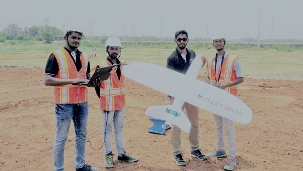
Terra Drone India surveys 4,200 sq km in Maharashtra
9th May 2019
Terra Drone India surveys 4,200 sq km in Maharashtra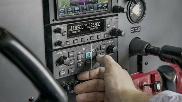
Garmin receives approval for the GFC 500 autopilot in the Mooney M20
9th May 2019
Garmin receives approval for the GFC 500 autopilot in the Mooney M20


thinkWhere Raises Crucial Funds for MapAction
9th May 2019
thinkWhere Raises Crucial Funds for MapAction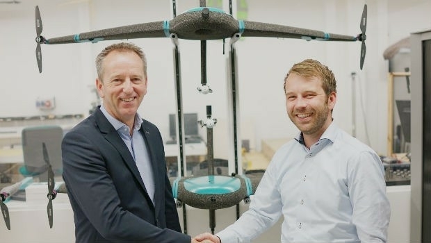
Rene Worms joins Atmos UAV as Head of Global Sales
8th May 2019
Rene Worms joins Atmos UAV as Head of Global Sales

Workshop and Presentation Proposals Invited for #GIS/ValTech2020
8th May 2019
Workshop and Presentation Proposals Invited for #GIS/ValTech2020
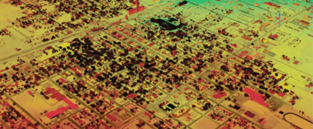
Infrastructure Inspection – UAS Are All Over It
8th May 2019
Infrastructure Inspection – UAS Are All Over It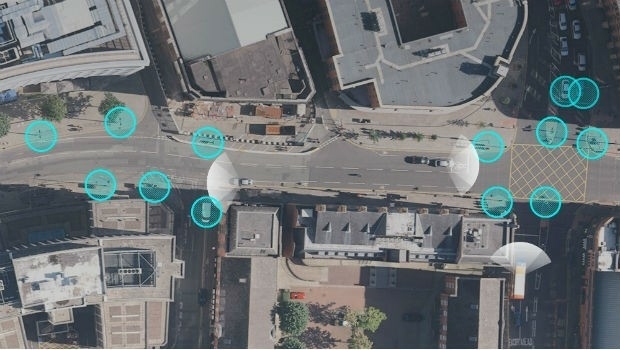

Maptitude Mapping Software Team Provides Awards & Prizes for 2019 AAG
8th May 2019
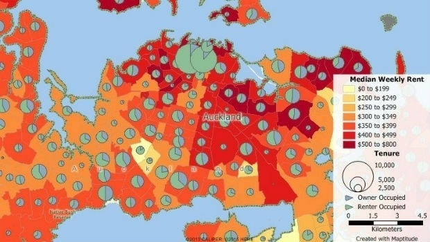
Maptitude Mapping Software Team Provides Awards & Prizes for 2019 AAG
CSA Completes Field Surveys Offshore Puerto Rico
8th May 2019
CSA Completes Field Surveys Offshore Puerto Rico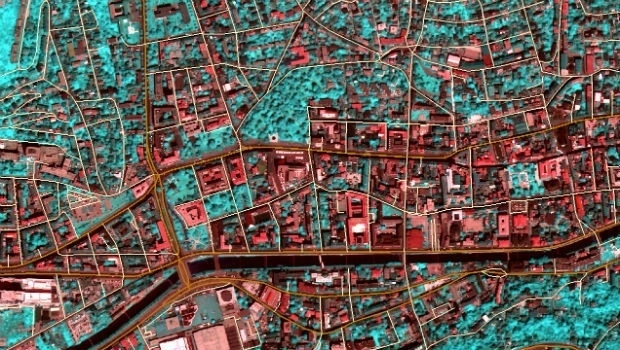
TCarta teams up with King’s College London and wins ESA Funding
7th May 2019
TCarta teams up with King’s College London and wins ESA Funding
Engineering Reports and Videos documenting successful Vector Tiles Pilot
7th May 2019
Engineering Reports and Videos documenting successful Vector Tiles Pilot
HERE powers new serverless location-based functions
7th May 2019
HERE powers new serverless location-based functions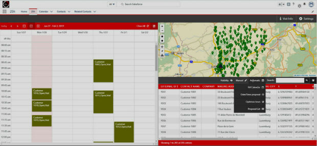
PTV Group's new route planning app now available on Salesforce AppExchange
7th May 2019
PTV Group's new route planning app now available on Salesforce AppExchange
Firefighting drones are the future of fire safety
7th May 2019
Firefighting drones are the future of fire safety