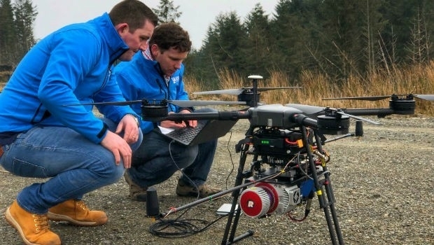
Ecometrica Uses Drones to Map Vegetation in Scottish Forests
28th May 2019
Ecometrica Uses Drones to Map Vegetation in Scottish ForestsNews as it happens! Keep in touch with the latest developments in business and technology in the regions or worldwide.
28th May 2019
Ecometrica Uses Drones to Map Vegetation in Scottish Forests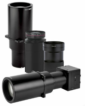
28th May 2019
Phase One Industrial Introduces Three High Performance Lenses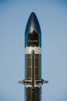
27th May 2019
Kleos Satellites Launch Window Confirmed – August Lift-off24th May 2019
Extensis to Cameo Digital Asset Management Solution
24th May 2019
Winner Announced in Younger Geospatial Professional of the Year Award
23rd May 2019
Likely Russian Bombers Intercepted Near Alaska23rd May 2019
u-blox announces Markus Schaefer as new Executive Director
23rd May 2019
GIS-Pro 2019 Student and Young Professional Opportunities Announced23rd May 2019
IOT WEEK 2019 – WHERE INNOVATIVE TECH MEETS BUSINESS AND SOCIETY!
23rd May 2019
Topcon announces advanced Bentley integration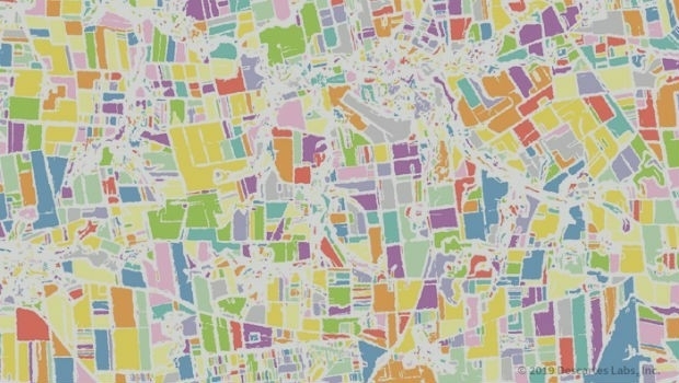
23rd May 2019
Descartes Labs to Demonstrate Global-Scale Predictive Intelligence

23rd May 2019
thinkWhere Online Mapping Tool Helps Falkirk Residents Access Essential Services22nd May 2019
Industry Players Announce London Geospatial Week for 202022nd May 2019
Geospatial Marketing and PR Specialist Rebrands as Spatially Aware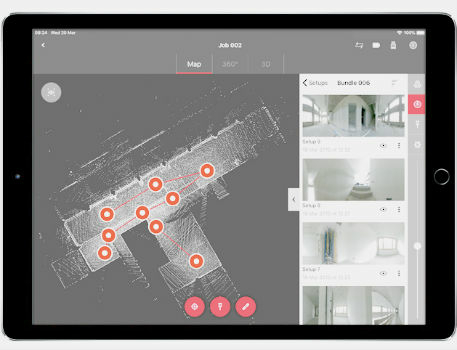
22nd May 2019
Leica BLK360 software integration announcement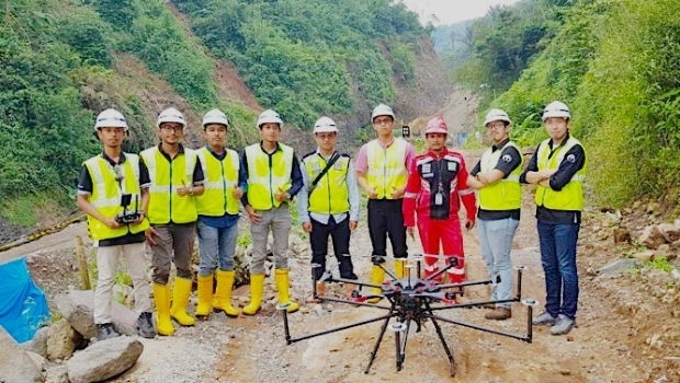
22nd May 2019
Terra Drone Indonesia shows construction companies benefits
22nd May 2019
Mapillary announces the world's first demand-driven marketplace for map data
21st May 2019
Trimble Releases Next-Generation Integrated Smartphone and GIS Data Collector