News
News as it happens! Keep in touch with the latest developments in business and technology in the regions or worldwide.

Retail share of private consumption, Europe 2018
11th July 2019
Retail share of private consumption, Europe 2018
CTRACK HELPS PROTECT NORFOLK’S OLDEST WORKING MOTOR CAR
11th July 2019
CTRACK HELPS PROTECT NORFOLK’S OLDEST WORKING MOTOR CAR
CTRACK HELPS PROTECT NORFOLK’S OLDEST WORKING MOTOR CAR
11th July 2019
CTRACK HELPS PROTECT NORFOLK’S OLDEST WORKING MOTOR CAR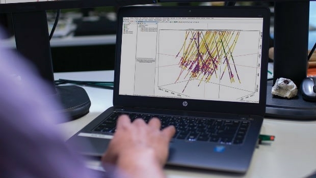
Seequent continues investment in innovative geoscience technology
11th July 2019
Seequent continues investment in innovative geoscience technology


Trimble announces new usage-based plans for Trimble Catalyst
10th July 2019
Trimble announces new usage-based plans for Trimble Catalyst
Cesium launches with $5 million investment
10th July 2019
Cesium launches with $5 million investment

Ordnance Survey creates ‘win-win’ for construction and geospatial industries
9th July 2019
Ordnance Survey creates ‘win-win’ for construction and geospatial industries
New CARIS HPD 4.0 release will advance existing capabilities
9th July 2019
New CARIS HPD 4.0 release will advance existing capabilities
NOVACAVI EXPANDS STEEL ARMOURED CABLE SINGLE LENGTH CAPABILITIES
9th July 2019
NOVACAVI EXPANDS STEEL ARMOURED CABLE SINGLE LENGTH CAPABILITIES
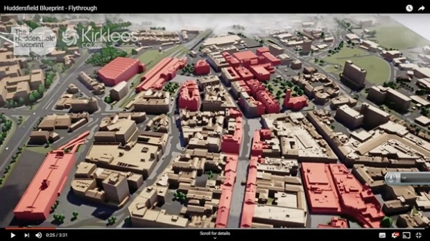
Bluesky 3D Model Helps AECOM Create Blueprint for Yorkshire Town Redevelopment
8th July 2019
Bluesky 3D Model Helps AECOM Create Blueprint for Yorkshire Town Redevelopment-Airbus-2019.jpg)
Airbus to develop CO3D Earth Observation programme for CNES
8th July 2019
Airbus to develop CO3D Earth Observation programme for CNES
Virtual Surveyor Enhances LiDAR Point Cloud Handling
8th July 2019
Virtual Surveyor Enhances LiDAR Point Cloud Handling
Second Lockheed Martin-Built GPS III Satellite Ready for July 25 Liftoff
8th July 2019
Second Lockheed Martin-Built GPS III Satellite Ready for July 25 Liftoff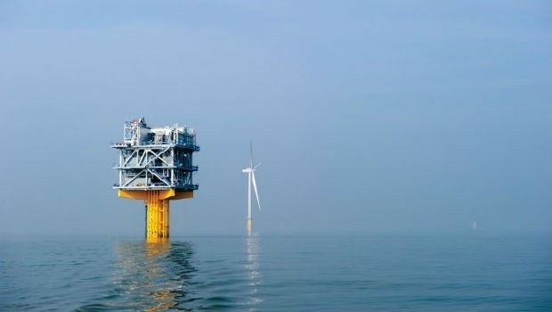
Fugro and SLPE to present case study at Offshore Foundations Conference, Bremen
8th July 2019
Fugro and SLPE to present case study at Offshore Foundations Conference, Bremen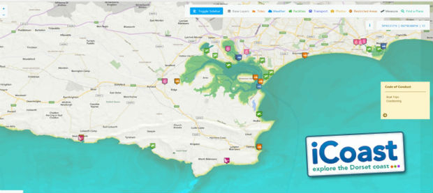
OceanWise technical expertise boosts iCoast re-launch
8th July 2019
OceanWise technical expertise boosts iCoast re-launch
Barry Wellar, C.M., GISP Announced as Closing Speaker
6th July 2019
Barry Wellar, C.M., GISP Announced as Closing Speaker
Telangana seeks to become first ‘BVLOS Compliant’ state in India
5th July 2019
Telangana seeks to become first ‘BVLOS Compliant’ state in India