OGC invites you to its Augmented Reality Summit in Toulouse, France
25th October 2019
OGC invites you to its Augmented Reality Summit in Toulouse, FranceNews as it happens! Keep in touch with the latest developments in business and technology in the regions or worldwide.

25th October 2019
OGC invites you to its Augmented Reality Summit in Toulouse, France25th October 2019
VisionTrack provides video telematics expertise to UK's HGH Platooning Trial24th October 2019
Bentley Systems Announces Support of IFC for Digital Twins24th October 2019
Garmin adds G1000 NXi upgrade for the King Air C9024th October 2019
SITECH South is now a RIEGL Distributor in North America24th October 2019
Take advantage of 50% discount to join International SCADA SECURITY Conference24th October 2019
Kick Off FAA National Drone Safety Awareness Week23rd October 2019
Fugro Enters the South Korean Offshore Wind Farm Market23rd October 2019
Bentley Systems’ Design Integration Offerings Advance BIM to 4D through Digital Twins23rd October 2019
Pix4D launches 2D fast-mapping software Pix4Dreact23rd October 2019
Riegl will be attending, exhibiting and presenting at Commercial UAV Expo 2019
22nd October 2019
Assetino Asset Management Platform Scoops Top European Award22nd October 2019
Bentley Systems and Topcon Positioning Systems Launch their Digital Construction Works Joint Venture22nd October 2019
Ecometrica sings up to UK Sprint Programme for International Space Data Project22nd October 2019
TDI-Brooks International, Inc. Hires Mr. Richard Byno as Director of Marine Operations21st October 2019
GAP Survey Equipment Hire Delivers with BigChange Mobile Tech
21st October 2019
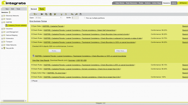
1Spatial announce release of 1Integrate v2.521st October 2019
GI_Forum 2020, July 7 – 10, 2020, Salzburg Austria21st October 2019
Bentley Systems Acquires Citilabs and Orbit Geospatial Technologies
18th October 2019
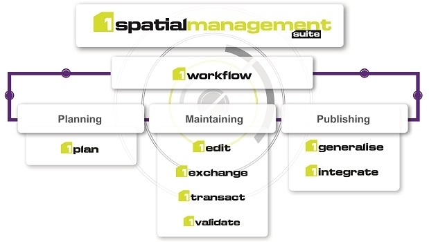
1Spatial announce release of 1Spatial Management Suite (1SMS) v2.518th October 2019
Airbus built Solar Orbiter heads for the Sun in Florida