
Trimble Releases Transporeon Report on Trends and Challenges for North American Transportation
8th August 2024
Trimble Releases Transporeon Report on Trends and Challenges for North American TransportationNews as it happens! Keep in touch with the latest developments in business and technology in the regions or worldwide.

8th August 2024
Trimble Releases Transporeon Report on Trends and Challenges for North American Transportation
8th August 2024
Esri Releases New Book on Designing 3D Maps That Are Creative, Clear, and Informative
7th August 2024
Next Geosolutions Completes The Acquisition Of Subonica S.R.L., An Established Italian SME Offering ROV Services
7th August 2024
Association for Geographic Information Launches Earth Observation Network
6th August 2024
SureCam Introduces AI Driver Coaching Tool To Support Efficient, Video-Enabled Road Safety Strategies6th August 2024
Space Flight Laboratory (SFL) Awarded Contract by GHGSat to Develop Two Additional Greenhouse Gas Monitoring Microsatellites
5th August 2024
3DTracking And Queclink Wireless Solutions Launch All-In-One Fleet And Video Telematics Solution
5th August 2024
GHGSat Approved for NASA Commercial Smallsat Data Acquisition (CSDA) Program
2nd August 2024
Climate emergency management in Vietnam: MASE and eGEOS sign international cooperation agreement1st August 2024
Ubotica achieves further breakthroughs in Live Earth Intelligence with Cognisat-6
1st August 2024
The Crown Estate wins global Esri award for geospatial innovation31st July 2024
Topocart maps Brazil’s expanding cities using Teledyne Galaxy PRIME+
31st July 2024
Bluesky named sole supplier of aerial photography to UK Government
30th July 2024
Rosslare Europort Targets Health & Safety With Camera Telematics Partnership
30th July 2024
Spending Less Editing Time with Correlator3D Version 10.229th July 2024
Notice regarding the Launch Schedule for our next StriX Satellite
29th July 2024
e-GEOS to develop an Hydro-Meteo Digital Twin
26th July 2024
u-blox enhances spoofing and jamming protection with OSNMA firmware update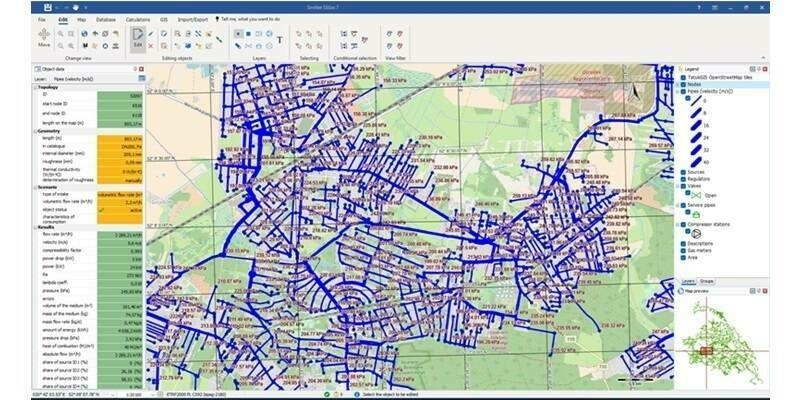
26th July 2024
Fluid Systems Uses TatukGIS SDK for Software to Model Hydraulic Networks
25th July 2024
Updates to international database provide powerful insights on valuable byproduct minerals
25th July 2024
Asteria Aerospace’s SkyDeck Platform Revolutionizes Drone Data Management with Cloud & AI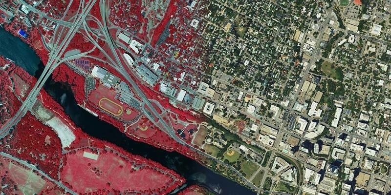
24th July 2024
Hexagon announces refresh of high-resolution aerial data for 14 U.S. states
24th July 2024
STRYDE is celebrating multiple contract wins for its seismic data processing solutions