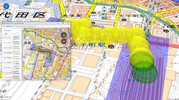
Blue innovation and Kyocera to Develop New Drone Solutions
5th February 2020
Blue innovation and Kyocera to Develop New Drone SolutionsNews as it happens! Keep in touch with the latest developments in business and technology in the regions or worldwide.

5th February 2020
Blue innovation and Kyocera to Develop New Drone Solutions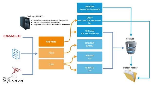
5th February 2020
Cadcorp launches GIS data management tool
4th February 2020
Emergency Response Fire Leadership Global Summit 2020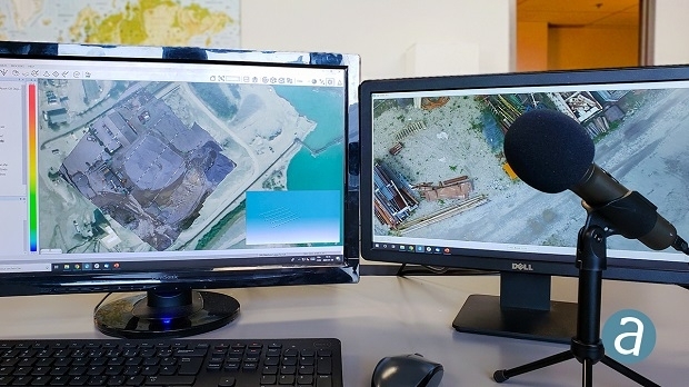
4th February 2020
SimActive Announces New Drone Training Program for Mapping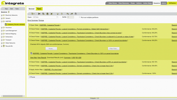
4th February 2020
1Spatial announce the release of 1Integrate v2.6
2nd February 2020
G-Core Labs launched CDN & hosting point of presence in Mumbai2nd February 2020
The Road Asset Management for the Campania Region31st January 2020
Dstl, UK and Australian Astronomers Collaborate31st January 2020
USGIF Accredits Two New Universities’ GEOINT Programs30th January 2020
Leeds University's New Master Degree Course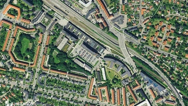
30th January 2020
Hexagon Acquires of COWI's Mapping Business
30th January 2020
Europa Technologies celebrates 30th anniversary
30th January 2020
Airbus CyberSecurity and Amossys sign cyber security partnership agreement
29th January 2020
Juniper Systems Limited Introduces the Mesa 3 Rugged Tablet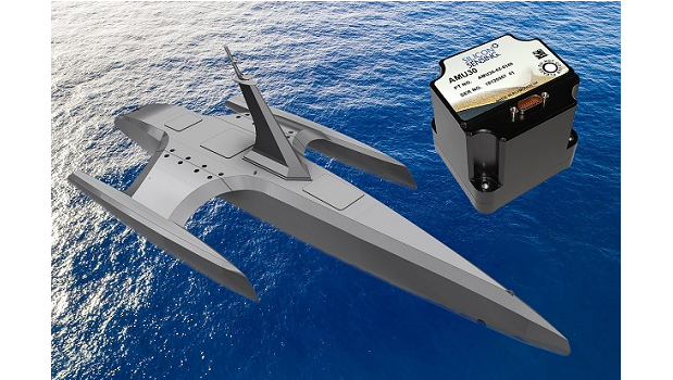
29th January 2020
Silicon Sensing’s technology used for autonomous Mayflower voyage
29th January 2020
Brandon Hire Station improves driver performance with Lytx
29th January 2020
MAPPS Presents the 2019 Geospatial Excellence Awards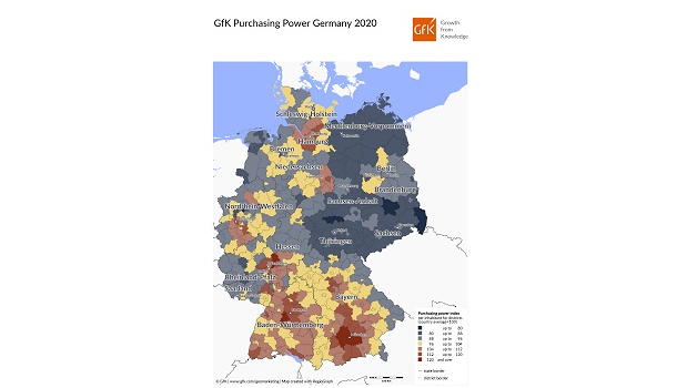
28th January 2020
Map of the Month: GfK Purchasing Power, Germany 2020
