
Leica Geosystems announces new most accurate total station
21st February 2020
Leica Geosystems announces new most accurate total stationNews as it happens! Keep in touch with the latest developments in business and technology in the regions or worldwide.
21st February 2020
Leica Geosystems announces new most accurate total station
21st February 2020
MGISS Launches Integrated Web App for AR Visualisations of Buried Assets
21st February 2020
APEI first to purchase Leica CityMapper-2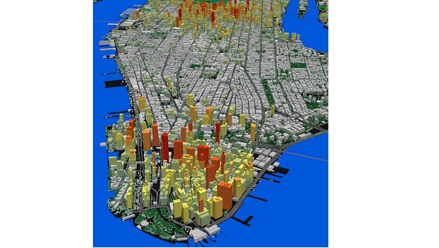
20th February 2020
LAND INFO Announces 5G Wireless Mapping Team in Europe
20th February 2020
RIEGL will be Attending and Exhibiting at IAFSM 202020th February 2020
International Lidar Mapping Forum Announces New Keynotes20th February 2020
Military Space Situational Awareness 2020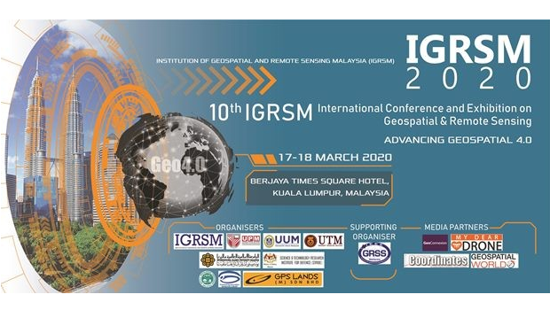
20th February 2020
10th IGRSM International Conference and Exhibition19th February 2020
Delivery of six Diamond DA40 NG training aircraft
19th February 2020
Leica Geosystems brings the world’s first MultiStation to the next level
19th February 2020
Bentley Systems Issues Call for Nominations for the YII 2020
19th February 2020
Commercial UAV Expo Americas Announces Massive Early Support
18th February 2020
AUVSI Announces Keynote Speakers for XPONENTIAL 2020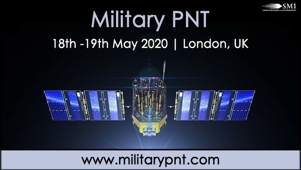
18th February 2020
ESA and Galileo Services to Discuss European GNSS at Military PNT 2020
16th February 2020
Septentrio launches web shop for high-accuracy GNSS receiver modules
16th February 2020
Bentley Confidentially Submits Registration Statement16th February 2020
Lincad wins additional contract from Team Leidos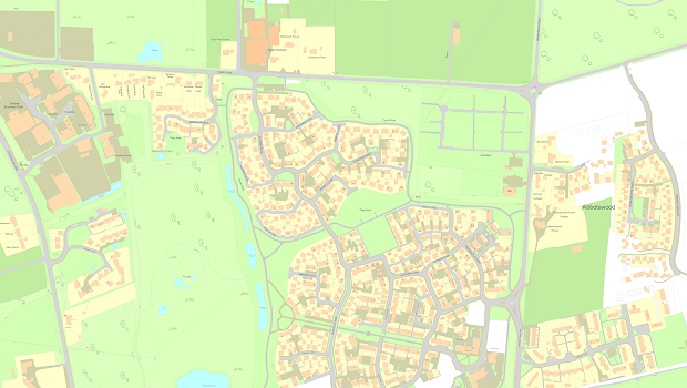
14th February 2020
Capturing the changing face of Great Britain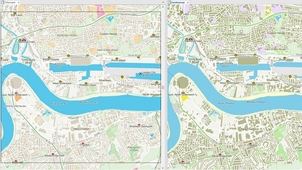
14th February 2020
Cadcorp SIS 9 service release optimises user experience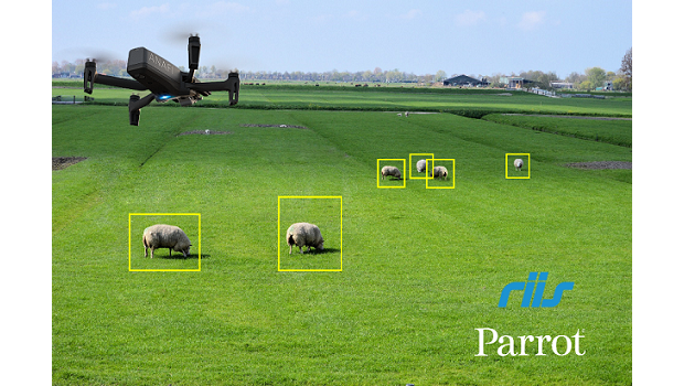
14th February 2020
Parrot and RIIS partnership announcement
13th February 2020
BigChange Mobile Workforce App & Telematics Speeds Road Gritting Operations
13th February 2020
Forestry Commission Uses Aerial Photography to Create Forest & Woodland Maps13th February 2020
Esri Partners with Saint Louis University13th February 2020
SMART NATION 2020 EXPO POSTPONED TO 8-10 SEPTEMBER 2020