
Jupiter probe JUICE: Final integration in full swing
27th April 2020
Jupiter probe JUICE: Final integration in full swingNews as it happens! Keep in touch with the latest developments in business and technology in the regions or worldwide.

27th April 2020
Jupiter probe JUICE: Final integration in full swing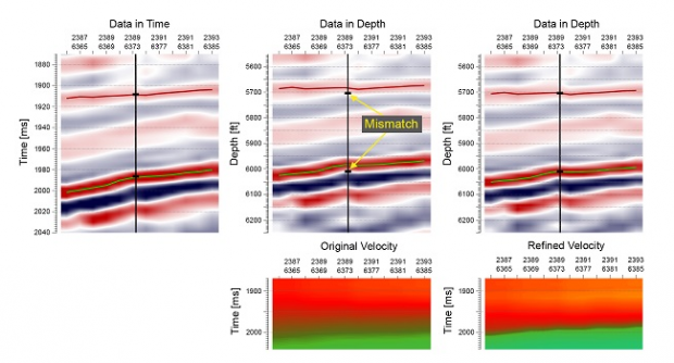
24th April 2020
CGG GeoSoftware releases Cloud-Ready Reservoir Characterization Applications
24th April 2020
Bluesky University of Leicester SPRINT Project Brings AI to Insurance Sector
24th April 2020
Bentley Institute announces “Digital Infrastructure Student Idea Challenge 2020”23rd April 2020
Future Climate Info’s Data Quality and Processes Praised in External Audit
22nd April 2020
Fugro wins contract for A9 motorway widening in the Netherlands
21st April 2020
UAVOS completes tests for UAV delivery service humanitarian relief
21st April 2020
Airbus will support France and India to monitor climate change with TRISHNA17th April 2020
CIMON-2 makes its successful debut on the ISS
17th April 2020
Esri Publishes The International Geodesign Collaboration
16th April 2020
New functionality and options in Topcon machine control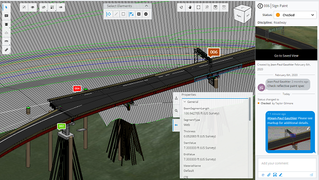
16th April 2020
Bentley Systems Opens Up Full Access to ProjectWise 365
16th April 2020
De Boer Marine to Deliver Managed Data Services
16th April 2020
Radius Telematics sees spike in vehicle theft during Coronavirus crisis
15th April 2020
Gexcel webinar: Fast stockpile volume evaluation
15th April 2020
Topcon expands intelligent paving portfolio with Thermal Mapper system
15th April 2020
Elbit Systems Integrated Active Towed Array Sonar onboard its Seagull USV
15th April 2020
Golden Software Simplifies Surfer Workflows for Faster Gridding
14th April 2020
Landmark welcomes Public Sector Geospatial Agreement
14th April 2020
Agency develops software to estimate areas of degraded GNSS service
9th April 2020
SimActive Used to Determine Solar Potential from Satellite Imagery

9th April 2020
Kazakhstan uses drones to patrol capital city during COVID-19 lockdown