
HERE technologies appoints Grey Matter as one of their distributors
26th May 2020
HERE technologies appoints Grey Matter as one of their distributorsNews as it happens! Keep in touch with the latest developments in business and technology in the regions or worldwide.

26th May 2020
HERE technologies appoints Grey Matter as one of their distributors
26th May 2020
Microsoft updates Bing Maps features to support fleets as delivery demand surges
26th May 2020
UAVOS expands saker male uas family in collaboration with kacst
26th May 2020
APCOA and HERE to partner on joint digital parking initiative26th May 2020
RoboSense LiDAR Partnered With DT Mobile On Vehicle-to-Infrastructure (V2I) Cooperation For Smart City
26th May 2020
ELBIT Systems reports first quarter 2020 results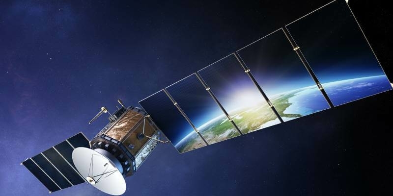
25th May 2020
New quad-band receiver delivers ultra-precise position for demanding marine operations
25th May 2020
Free RIEGL Webinars in week 22: Get a deeper insight into RIEGL's Ultimate LiDAR Technology
25th May 2020
Ordnance Survey to create the Ordnance Survey of Dubai
22nd May 2020
European Aerial Mappers Challenge Data Streaming Competitors
22nd May 2020
Bluesky Supports Remote Workers with Latest Aerial Photography Online
22nd May 2020
Monitoring specialist Senceive appoints new growth director
22nd May 2020
Septentrio adds Sapcorda SAPA service to GNSS receiver portfolio
21st May 2020
Broaden your perspective with the new UltraCam Osprey 4.1
21st May 2020
Garmin GFC 500 and GFC 600 autopilots approved for additional aircraft models
21st May 2020
Bentley Systems Adds Infrastructure Industry Experience to Digital Twin Consortium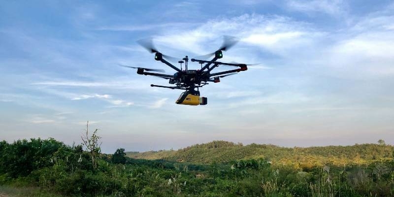
21st May 2020
YellowScan Vx-15 Makes European Start-Up a Major Player in Indonesia
20th May 2020
HERE and Loqate expand partnership to lead the global address verification industry
20th May 2020
Commercial UAV Expo Europe 2020 Shifts to Virtual Event as Part of Hybrid Amsterdam Drone Week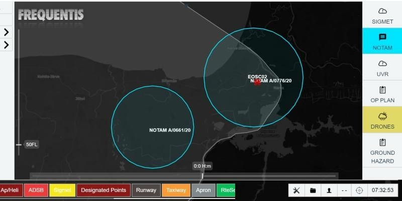
20th May 2020
Drones support Estonian emergency services during pandemic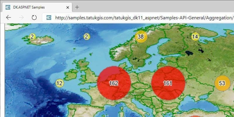
20th May 2020
TatukGIS Developer Kernel 11 for ASP.NET Web Forms
19th May 2020
Charlesbank Capital Partners Invests $70 Million in Elbit Systems’ Subsidiary, Cyberbit
19th May 2020
Royal Geographical Society (with IBG) honours top geographers
19th May 2020
Telematics data from VisionTrack highlights increased levels of speeding amongst fleet and road transport drivers