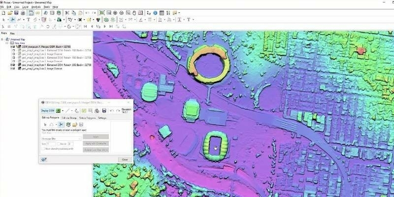
PCI Geomatics Releases New Features for Geomatica Banff
11th June 2020
PCI Geomatics Releases New Features for Geomatica BanffNews as it happens! Keep in touch with the latest developments in business and technology in the regions or worldwide.

11th June 2020
PCI Geomatics Releases New Features for Geomatica Banff
11th June 2020
Co-Located Events AEC Next, SPAR 3D, and Geo Week Pivot to Virtual Content Series for 2020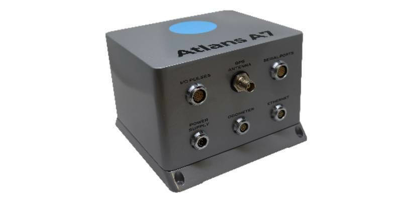
10th June 2020
OGI selects iXblue FOG INS for new mobile mapping lidar solution
10th June 2020
Bentley Systems’ Year in Infrastructure 2020 Conference is Going Digital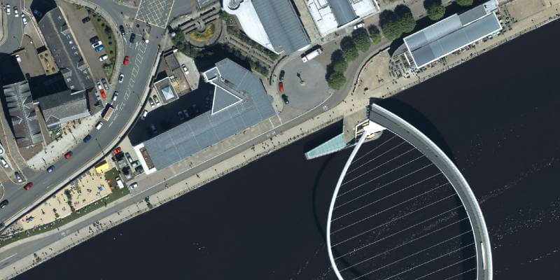
10th June 2020
Bluesky Takes to the Clear Skies in a Flying Start to 2020 Aerial Surveying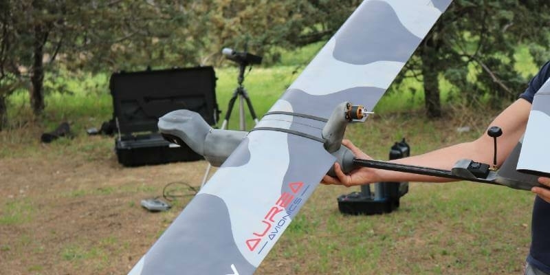
10th June 2020
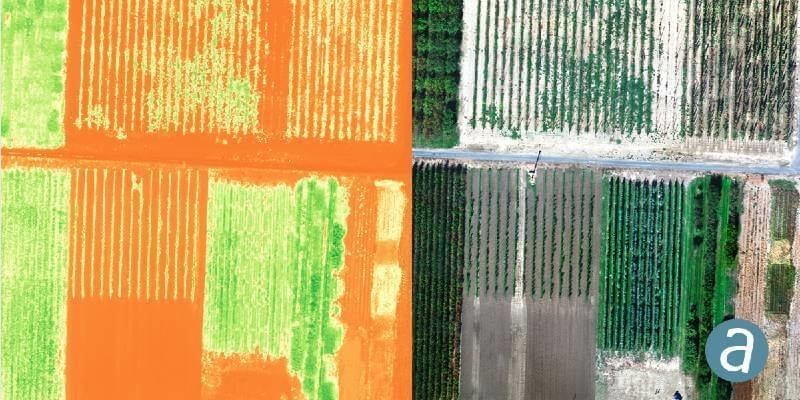
GMV supplies the Spanish MoD with systems of the RPAS Seeker
9th June 2020
SimActive Introduces Cloud Sharing and Reflectance Calibration with New Version 8.5
9th June 2020
Pix4D launches stand-alone photogrammetry cloud processing solutions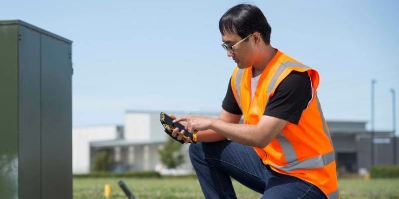
9th June 2020
TDC Joins Trimble’s GIS Business Partner Program to Empower Mobile GPS Workflows
9th June 2020
23rd ICA Workshop on Map Generalisation and Multiple Representation
8th June 2020
Online training: Learn how to add easy-to-use SAR processing to your remote sensing applications
8th June 2020
Blog: Transforming the way we plan, design, build and operate our national infrastructure using geospatial data infrastructures (Part 1)
8th June 2020
Recordings Are Now Available For Riegl Ultimate Lidar May Webinar Series
8th June 2020
Sonardyne positioning systems chosen for Brazilian geoscience research vessels
8th June 2020
Globalstar Launches New ST100 Satellite Transmitter
8th June 2020
Map of pavement widths helps local authorities with social distancing plans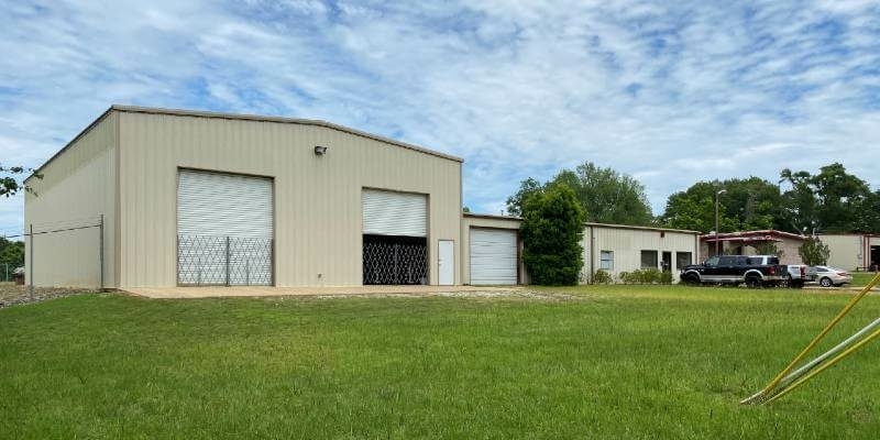
5th June 2020
Tdi-Brooks Acquires Gregg Drilling’s Cpt Cone Manufacturing Capability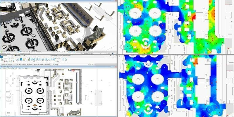
5th June 2020
Bentley Systems Opens Up Full Access to LEGION Simulator and OpenBuildings Station Designer and Waives Subscription Fees through September 30

4th June 2020
Automation driving safety and efficiency in essential streetworks for Northern Gas Networks
4th June 2020
CHNT 25, 2020 - Artificial Intelligence, New pathways towards cultural heritage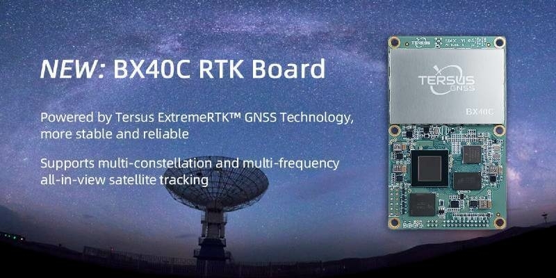
4th June 2020
Tersus Introduces BX40C RTK Board, A Compact GNSS Board with Full Constellation Tracking
4th June 2020
Trimble Connect Collaboration Platform Hits 10 Million User Milestone