News

News as it happens! Keep in touch with the latest developments in business and technology in the regions or worldwide.

Bluesky Newcastle Aerial 5Cm 1 1

Bluesky Takes to the Clear Skies in a Flying Start to 2020 Aerial Surveying

10th June 2020

Bluesky Takes to the Clear Skies in a Flying Start to 2020 Aerial Surveying
Np 009 Seeker I 1 1

GMV supplies the Spanish MoD with systems of the RPAS Seeker

10th June 2020

GMV supplies the Spanish MoD with systems of the RPAS Seeker
Fig Events 800X400

Two latest FIG webinars

9th June 2020

Two latest FIG webinars
Linkedin June9 2020 1 1

SimActive Introduces Cloud Sharing and Reflectance Calibration with New Version 8.5

9th June 2020

SimActive Introduces Cloud Sharing and Reflectance Calibration with New Version 8.5
Socc Corp Generic Pix4Dcloud Landscape 1

Pix4D launches stand-alone photogrammetry cloud processing solutions

9th June 2020

Pix4D launches stand-alone photogrammetry cloud processing solutions
Trimble Tdc 1 1

TDC Joins Trimble’s GIS Business Partner Program to Empower Mobile GPS Workflows

9th June 2020

TDC Joins Trimble’s GIS Business Partner Program to Empower Mobile GPS Workflows
Tud Architecture 2 1 1

23rd ICA Workshop on Map Generalisation and Multiple Representation

9th June 2020

23rd ICA Workshop on Map Generalisation and Multiple Representation
L3Harris Eblastjune 800X400

Online training: Learn how to add easy-to-use SAR processing to your remote sensing applications

8th June 2020

Online training: Learn how to add easy-to-use SAR processing to your remote sensing applications
Data Enrichment Data Integration And Conflation 1 1

Blog: Transforming the way we plan, design, build and operate our national infrastructure using geospatial data infrastructures (Part 1)

8th June 2020

Blog: Transforming the way we plan, design, build and operate our national infrastructure using geospatial data infrastructures (Part 1)
Riegl Ultimate Lidar Webinar Series 800X400Px 1

Recordings Are Now Available For Riegl Ultimate Lidar May Webinar Series

8th June 2020

Recordings Are Now Available For Riegl Ultimate Lidar May Webinar Series
Sonardyne Oceanpact Seward Johnson 1

Sonardyne positioning systems chosen for Brazilian geoscience research vessels

8th June 2020

Sonardyne positioning systems chosen for Brazilian geoscience research vessels
Globalstar St1000 1 1

Globalstar Launches New ST100 Satellite Transmitter

8th June 2020

Globalstar Launches New ST100 Satellite Transmitter
Esri Uk Londonzoommap Lowres 1 1

Map of pavement widths helps local authorities with social distancing plans

8th June 2020

Map of pavement widths helps local authorities with social distancing plans
Shop2 1 1

Tdi-Brooks Acquires Gregg Drilling’s Cpt Cone Manufacturing Capability

5th June 2020

Tdi-Brooks Acquires Gregg Drilling’s Cpt Cone Manufacturing Capability
Legion Full Access Pr Image 1920X1080 1 1

Bentley Systems Opens Up Full Access to LEGION Simulator and OpenBuildings Station Designer and Waives Subscription Fees through September 30

5th June 2020

Bentley Systems Opens Up Full Access to LEGION Simulator and OpenBuildings Station Designer and Waives Subscription Fees through September 30
Banner

IGRSM 2020 to be Held Online

5th June 2020

IGRSM 2020 to be Held Online
1Spatial June 800X400 1

Automation driving safety and efficiency in essential streetworks for Northern Gas Networks

4th June 2020

Automation driving safety and efficiency in essential streetworks for Northern Gas Networks
Headerchnt25 2 3

CHNT 25, 2020 - Artificial Intelligence, New pathways towards cultural heritage

4th June 2020

CHNT 25, 2020 - Artificial Intelligence, New pathways towards cultural heritage
Bx40C 1 1

Tersus Introduces BX40C RTK Board, A Compact GNSS Board with Full Constellation Tracking

4th June 2020

Tersus Introduces BX40C RTK Board, A Compact GNSS Board with Full Constellation Tracking
Trimble Connect 800X400 1 1

Trimble Connect Collaboration Platform Hits 10 Million User Milestone

4th June 2020

Trimble Connect Collaboration Platform Hits 10 Million User Milestone
Mgiss Dmbr 1886 1 1

MGISS Helps Highways Sector Adopt New Highways England Standards

4th June 2020

MGISS Helps Highways Sector Adopt New Highways England Standards
Riegl Ultimate Lidar Webinar Series 800X400Px 1

Riegl Ricast: Josh France Interviews Longtime Vmx User, Joe Feyder Of Rey Engineers

3rd June 2020

Riegl Ricast: Josh France Interviews Longtime Vmx User, Joe Feyder Of Rey Engineers
Leicamap360V4 0 1

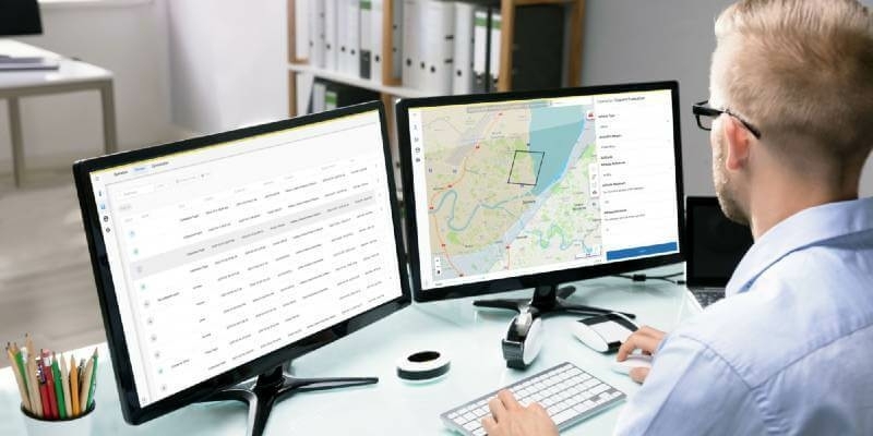
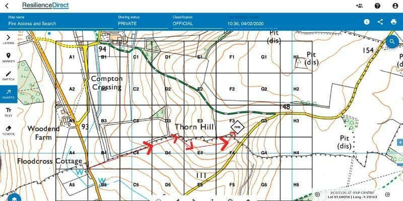
Leica Geosystems announces latest version of public safety software

3rd June 2020

Leica Geosystems announces latest version of public safety software
Lt Series Enclosed Usb3 Cameras

Teledyne Lumenera’s new Lt Series USB3 Cameras engineered for modern vision systems

3rd June 2020

Teledyne Lumenera’s new Lt Series USB3 Cameras engineered for modern vision systems