
Recordings Are Now Available For Riegl Ultimate Lidar June Webinar Series
9th July 2020
Recordings Are Now Available For Riegl Ultimate Lidar June Webinar SeriesNews as it happens! Keep in touch with the latest developments in business and technology in the regions or worldwide.
9th July 2020
Recordings Are Now Available For Riegl Ultimate Lidar June Webinar Series9th July 2020
Airbus Partnership Supports 4 Earth Intelligence Vision for Satellite Services
9th July 2020
ProStar Joins Trimble’s GIS Business Partner Program to Define the Next Generation of Utility Mapping
9th July 2020
Utility Cloud 2020 | 15-17 September, Virtual Conference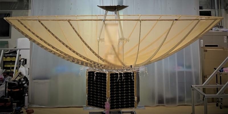
8th July 2020
Silicon Sensing’s inertial measurement technology to equip first small SAR satellite from iQPS Inc
8th July 2020
Brandt Completes Sokkia Canada Acquisition, Expands Position as #1 Geospatial Supplier
8th July 2020
Garmin Expands G1000 Nxi Integrated Flight Deck Upgrade Portfolio To Include The Embraer Phenom 300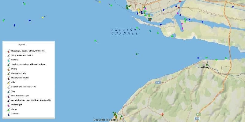
8th July 2020
UP42 Adds exactEarth Ship Tracking Data to Geospatial Marketplace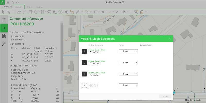
8th July 2020
Schneider Electric Announces ArcFM Designer 11.2.3
7th July 2020
exactEarth Announces $7.0 Million Expansion of Channel Partner Agreement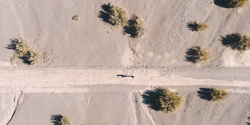
7th July 2020
SimActive Software Used for Oil and Gas Seismic Exploration7th July 2020
Parrot partners with AIRT’s Drones for Good and DRONERESPONDERS Public Safety UAS Programmes
7th July 2020
Tech Soft 3D Helps Fieldwire Rapidly Bring BIM Viewing to Its Construction Management Platform6th July 2020
East View Geospatial Offering PlanetSAT 2020 Global Imagery Basemap
6th July 2020
Intergeo 2020: 100 percent digital with a real network atmosphere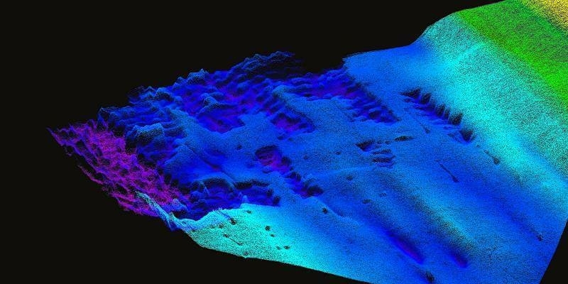
6th July 2020
TDI-Brooks Purchases First US-Based WINGHEAD System from Seahorse Geomatics
6th July 2020
Geneq Announces F100 the New Highly Integrated GNSS Receiver With a Multi-touch Screen6th July 2020
Solita and Unifly join forces to secure and advance international drone airspace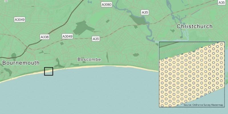
3rd July 2020
Spatial analysis examines UK beach capacity ahead of holiday season
3rd July 2020
Bluesky Upgrades its Great Britain Flying Programme to Highest Ever Resolution
3rd July 2020
Covid-19 creates steep learning curve and significant opportunities – what have we learnt so far?
3rd July 2020
Schneider Electric Announces The New Geodatabase Manager XI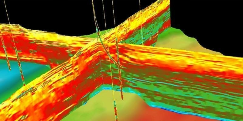
2nd July 2020
CGG GeoSoftware and Alibaba Cloud Collaborate to Support the E&P Industry with Cloud Geoscience Technologies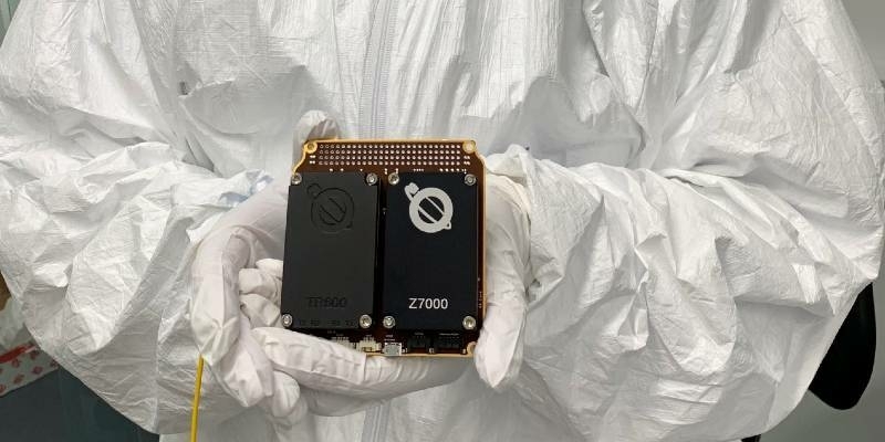
2nd July 2020
Airbus innovative payload to launch on Faraday-1 satellite