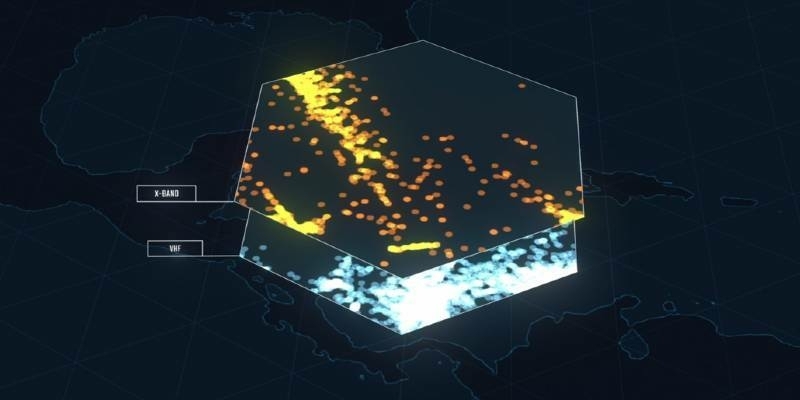
HawkEye 360 Completes Milestone in Preparation to Launch Second Cluster
17th July 2020
HawkEye 360 Completes Milestone in Preparation to Launch Second ClusterNews as it happens! Keep in touch with the latest developments in business and technology in the regions or worldwide.

17th July 2020
HawkEye 360 Completes Milestone in Preparation to Launch Second Cluster
17th July 2020
Leica Geosystems BLK247 Wins Security Industry Association’s Best New Product Award

16th July 2020
Uavos Joined Haps Alliance To Evolve The High-Altitude Unmanned Platforms Technology Market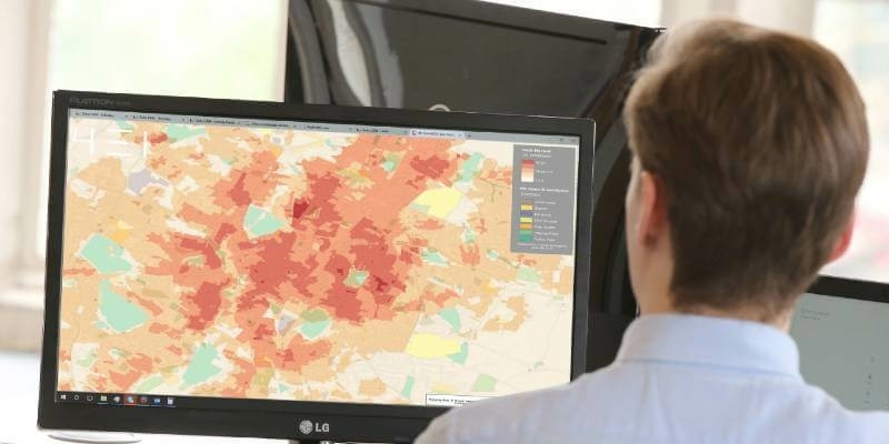
16th July 2020
4 Earth Intelligence and Ordnance Survey Partner to Reveal the World from Satellites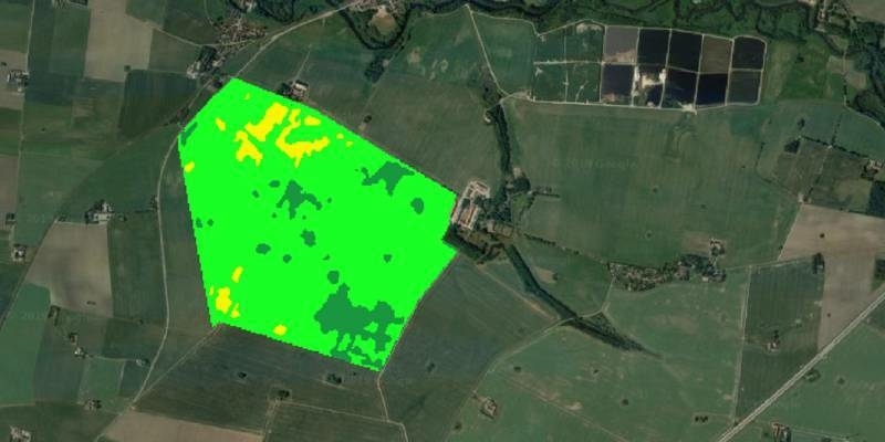
16th July 2020
UP42 Partners with Vultus to Provide Precision Agriculture Technologies
16th July 2020
Parrot Partners with WISeKey to Define the Future of Drone Security
15th July 2020
Esri and Facebook Collaborate to Release New OpenStreetMap-Ready Datasets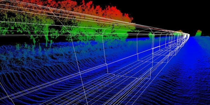
15th July 2020
Australian collaboration to deliver world-leading gyroscope technology
15th July 2020
Garmin Unveils G500 Txi And G600 Txi Flight Display Enhancements
15th July 2020
Road Trips With Josh And The Vmx: Indianapolis Or Bust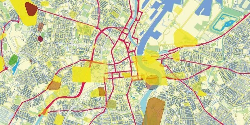
14th July 2020
Spatial unlocks the key to joined-up government
14th July 2020
Join Riegl At Their Virtual Booth At The Esri User Conference 2020
14th July 2020
John Kimmance appointed as new MD of Ordnance Survey National Mapping Services
14th July 2020
UK Hydrographic Office appoints Rear Admiral Peter Sparkes as Acting Chief Executive, following the retirement of CEO Tim Lowe CBE
14th July 2020
Bentley Systems’ Acceleration Fund Announces Launch of The Cohesive Companies, Advancing Infrastructure Digital Twins to Improve Asset Performance
13th July 2020
Faro Launches Freestyle 2 Portable 3d Scanner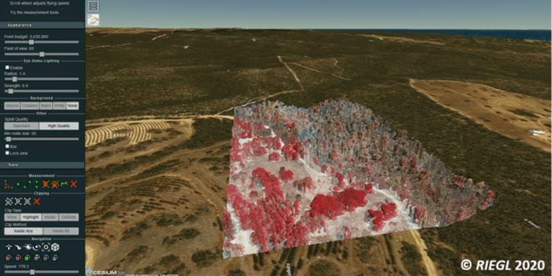
13th July 2020
Explore Riegl’s Broad Portfolio Of Point Cloud Samples In Potree
13th July 2020
Artificial intelligence in the building pit: Georeferenced survey data via app
13th July 2020
The 2020 Recipient of the Arthur C. Lundahl-Thomas C. Finnie Lifetime Achievement Award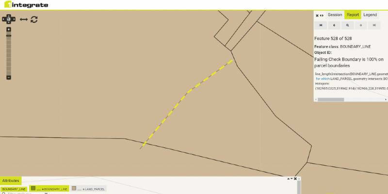
10th July 2020
1Spatial announce the release of 1Integrate v2.7
10th July 2020
Bentley Systems’ Acceleration Fund Announces the Launch of Virtuosity, a Bentley Company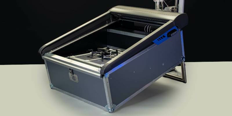
10th July 2020
Parrot and Hoverseen partner to offer drone-in-a-box surveillance and inspection solutions
10th July 2020
Bluesky Maps the Peak District National Park in Ultra-High Resolution from the Air