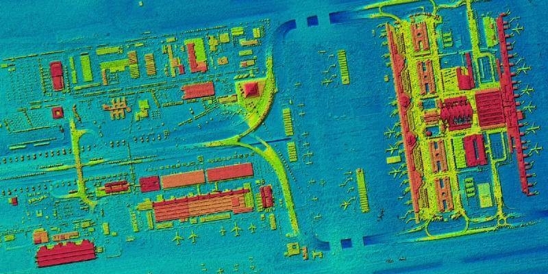
First high-resolution, homogeneous Digital Surface Model for Germany
14th October 2020
First high-resolution, homogeneous Digital Surface Model for GermanyNews as it happens! Keep in touch with the latest developments in business and technology in the regions or worldwide.

14th October 2020
First high-resolution, homogeneous Digital Surface Model for Germany
14th October 2020
Stephen Slessor becomes new President of CICES
13th October 2020
SimActive Develops New Workflow for Faster Processing of Large Projects13th October 2020
Media Briefing on Next-generation Ocean-monitoring Satellite Mission13th October 2020
Fixposition Presents the Vision-RTK Positioning Sensor at Intergeo Digital 202013th October 2020
AsteRx-m3 the next-gen GNSS receiver designed for Machine Control12th October 2020
Atmos UAV releases a major Marlyn update called “Autumn Hike” revealing enhanced corridor mapping and intelligent checklist12th October 2020
Septentrio unveils AsteRx-m3, the next generation of high-precision GNSS receivers12th October 2020
Bluesky Funds University of Leicester Study into use of LiDAR for Detailed Tree Analysis

9th October 2020
Bentley Systems Announces Finalists in the Year in Infrastructure 2020 Awards Program9th October 2020
Satellite Vu to investigate using infrared satellite data for thermal measurement of maritime applications9th October 2020
Terra Drone soars to the top in world’s top drone service provider rankings
8th October 2020
Scalable end-to-end security platform from u-blox addresses LPWA IoT device use cases
8th October 2020
Trimble Announces New Collaboration Platform Integrations with Microsoft 365 and BIMcollab
7th October 2020
Recordings are Now Available for the RIEGL Ultimate LiDAR September Webinar Series
7th October 2020
SBG Systems supports Education with IMU, AHRS, INS/GNSS, and PPK Software7th October 2020
British Sugar adopts Rezatec’s innovative satellite analytics to optimise the supply of sugar beet6th October 2020
UAVOS's Control System for High Altitude Platform Station ApusDuo Enables It To Fly In Unstable Atmospheric Conditions6th October 2020
SkyWatch and Picterra Join Forces to Make Geospatial Insights Available to All6th October 2020
Innovation in Action: Utilities on the Frontline4th October 2020
USGIF Announces First-Ever Student Diversity Awards and Best Student Poster Award
4th October 2020
iXblue builds capacity for simultaneous operations on either side of the Tasman