
SimActive Releases Version 8.6 of Correlator3D
10th November 2020
SimActive Releases Version 8.6 of Correlator3DNews as it happens! Keep in touch with the latest developments in business and technology in the regions or worldwide.

10th November 2020
SimActive Releases Version 8.6 of Correlator3D10th November 2020
Pix4D launches new ground image capture app for 3D modeling with the iPad Pro and iPhone 12 Pro
9th November 2020
OGC simplifies EO data access and analysis through novel, standards-based technique
9th November 2020
Recordings are Now Available for the RIEGL Ultimate LiDAR October Webinar Series
9th November 2020
‘Surf’s Up’ at OceanTech 2021 – Asia sees ocean business solutions demonstrated live in Zhoushan China6th November 2020
Road Pavement Analysis with the RIEGL VMX-2HA Mobile Mapping System6th November 2020
Deepest Gratitude and Appreciation for the Invaluable Support Provided for the 10th IGRSM International Conference and Exhibition on Geospatial & Remote Sensing (IGRSM 2020)6th November 2020
Public and private sectors choose Smart City Live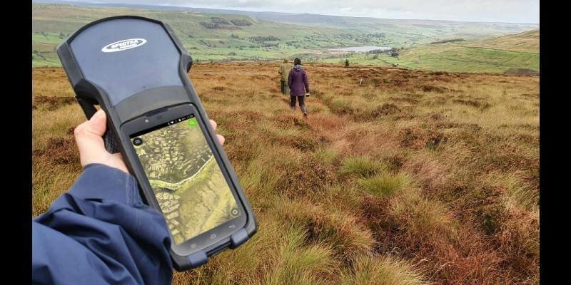
5th November 2020
Yorkshire Wildlife Uses MGISS Cloud Technology to Map and Protect Habitats
5th November 2020
GPI and RIEGL: From the Ground to the Skies5th November 2020
The digitalPMRExpo 2020 is picking up speed5th November 2020
Mantle Labs to develop new soil moisture-based drought insurance solution5th November 2020
u-blox chooses SystemWeaver for developing safe GNSS products
4th November 2020
Improving your Photogrammetric Workflow with New Version 8.64th November 2020
Airbus wins European Space Agency TRUTHS mission study for metrological traceability of Earth observation data4th November 2020
Septentrio mosaic-H, accurate positioning and heading in a single compact module4th November 2020
Leica Geosystems innovates automated total station portfolio
3rd November 2020
Swift Navigation’s Production-Grade SSR Service is Now Available Across Two Continents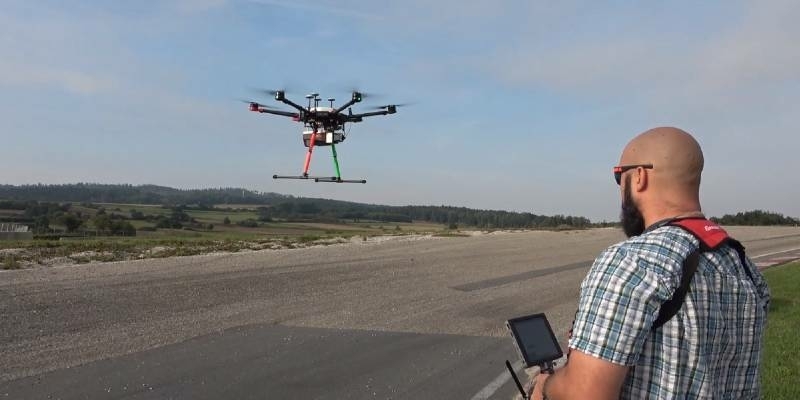
3rd November 2020
New RIEGL VUX-120 Video Available On Youtube3rd November 2020
OGC announces kickoff to the Geospatially Enabled Ecosystem for Europe (GeoE3) project
3rd November 2020
Record-breaking drone show enabled by u-blox positioning technology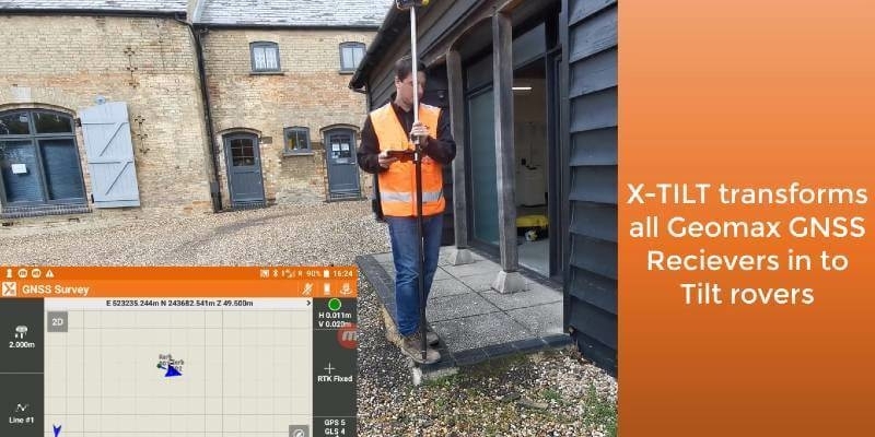
1st November 2020
GeoMax launches major update to X-PAD software1st November 2020
Just 2 Weeks to Go Until SMi Group’s 22nd Annual Global MilSatCom Virtual Conference & Exhibition1st November 2020
Amid Continuing Uncertainty, Investing in African Mining Indaba Announces Cancellation of the 2021 Edition and Launches a Virtual Event