
Racurs releases new generation photogrammetric platform PHOTOMOD 7.0
8th December 2020
Racurs releases new generation photogrammetric platform PHOTOMOD 7.0News as it happens! Keep in touch with the latest developments in business and technology in the regions or worldwide.

8th December 2020
Racurs releases new generation photogrammetric platform PHOTOMOD 7.06th December 2020
u-blox signs deal with UK start-up for cutting-edge GNSS technology6th December 2020
The Airbus Zephyr, Solar High Altitude Platform Station (HAPS) concludes a successful new test flight campaign in Arizona, USA
6th December 2020
Surecam And Peoplesafe Launch Video-Enabled Lone Worker Protection Solution In Fleet-Industry First6th December 2020
Airbus to deliver radar instrument for new Copernicus ROSE-L mission
4th December 2020
Atmos UAV joins forces with Topcon Positioning Group
4th December 2020
OGC Welcomes AWS to the OGC Community as a Principal Member4th December 2020
Launch success for UAE’s FalconEye satellite4th December 2020
thinkWhere’s groundMapper Underpins GIS Transformation at Tilhil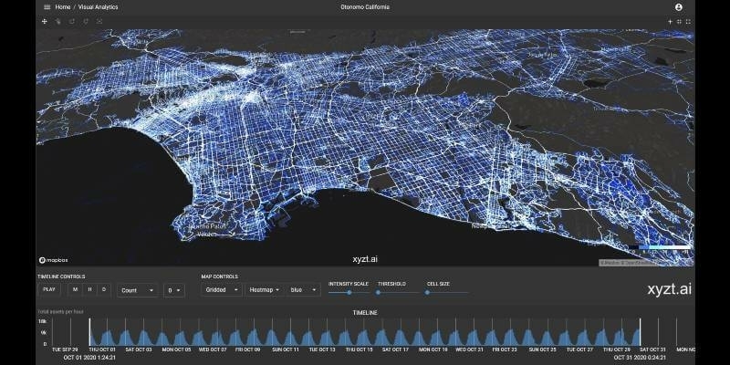
3rd December 2020
xyzt.ai analytics platform leverages Otonomo’s connected vehicle data boosting traffic management visualization capabilities3rd December 2020
UKHO and Cefas launch new innovation challenge to support growth in offshore renewable energy
3rd December 2020
Garmin Announces G1000 Nxi Integration With Blackhawk Engine+ Upgrade For King Air 300 And King Air 3503rd December 2020
Leica Geosystems Introduces iCON Field Software Version 6.0
2nd December 2020
Free Webinar | Solve Geospatial Problems with Deep Learning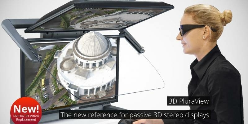
2nd December 2020
The 3D PluraView stereo monitor family – Meeting the highest requirements for Geospatial applications2nd December 2020
UgCS Industrial Solutions introduces the drone-integrated metal detection system2nd December 2020
The Cohesive Companies announce the acquisition of UK-based Maximo solutions provider SRO Solutions
2nd December 2020
CGG Wins Three-Year Contract Extension for Oman Dedicated Processing Center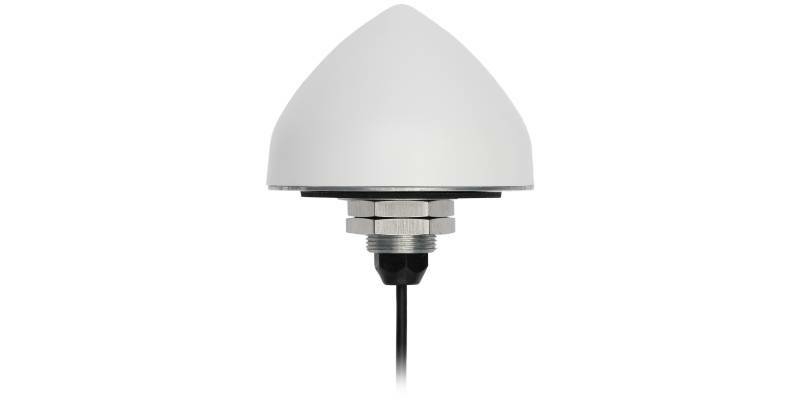
2nd December 2020
Tallymatics Introduces the TW5382 Smart GNSS Antenna for High Accuracy 5G Timing
1st December 2020
'How to Accurately Merge Imagery with LiDAR' Webinar1st December 2020
UP42 Hosts Webinar on Fusion of Satellite Imagery, AIS Data, Machine Learning for Maritime Surveillance1st December 2020
UAVOS Servos Expands Family with Xservo-Series Actuators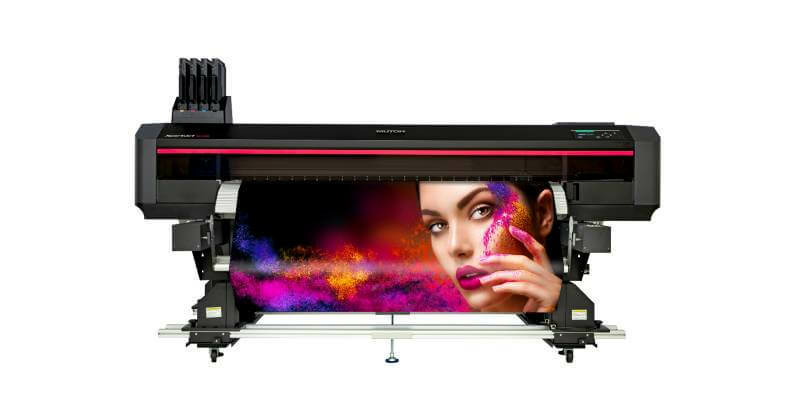
30th November 2020
Mutoh EMEA Launch Heavy Duty Automated Feed & Take-Up System for XpertJet Roll-to-Roll Printers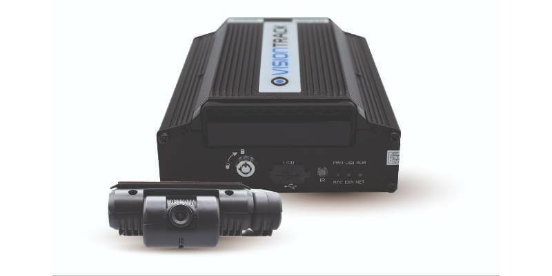
30th November 2020
Streamax Technology Secures Multi-Million Pound Video Telematics Hardware Deal With Visiontrack