
Real estate management during the COVID pandemic - Webinar
18th January 2021
Real estate management during the COVID pandemic - WebinarNews as it happens! Keep in touch with the latest developments in business and technology in the regions or worldwide.

18th January 2021
Real estate management during the COVID pandemic - Webinar
17th January 2021
OGC seeks public comment on proposal to revise Indexed 3D Scene Layers (I3S) Community Standard17th January 2021
First-ever remote drone delivery completed in Latvia17th January 2021
CGG Satellite Mapping Completes Barents Sea Seeps Study for Norwegian Petroleum Directorate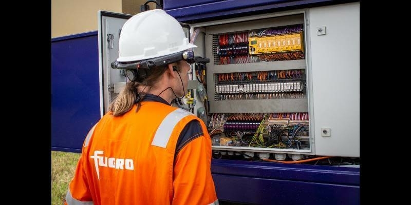
15th January 2021
Fugro Selects RealWear Assisted Reality (AR) Headsets to Increase Operational Safety, Capacity and Efficiency
15th January 2021
Tallysman Introduces the HC843 and HC843E Lightweight Dual-Band GNSS and Passive Iridium Helical Antenna15th January 2021
Global Drone Inspection to take on specialist demand for drone and ROV services from RIMS BV
14th January 2021
Delivering Remote Training With Geocortex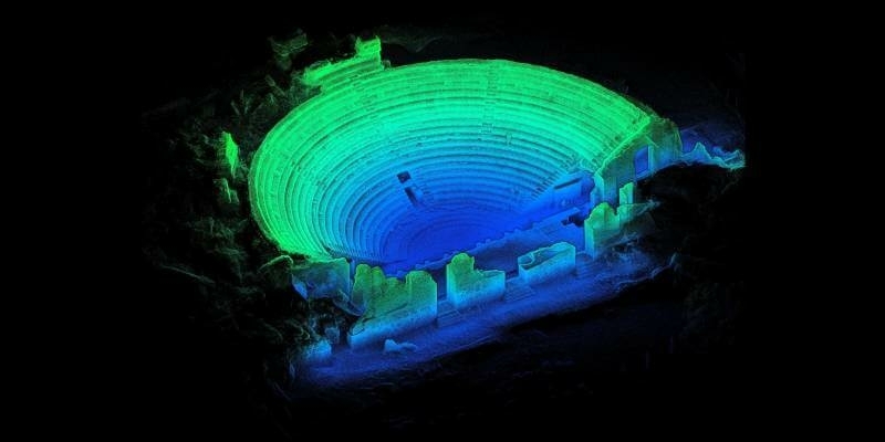

14th January 2021
Cyprus Subsea and Subsea Europe Services collaborate to create combined Hydrography and Oceanography portfolio
14th January 2021
1Spatial announce multi-year contract with California’s Office of Emergency Services13th January 2021
The Cyprus based Joint Rescue Coordination Center has upgraded drones from C-Astral Aerospace
13th January 2021
Public comment sought on update to the work of the CDB Standards Working Group, providing location in modeling, simulation, and gaming13th January 2021
Golden Software Enhances Surfer Visualization Functionality for Deeper Data Insights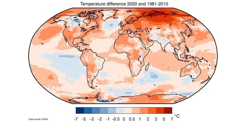
12th January 2021
Copernicus: 2020 warmest year on record for Europe; globally, 2020 ties with 2016 for warmest year recorded12th January 2021
GIS Analytics Server of U.S. Federal Statistical Data12th January 2021
HERE Technologies makes EV driving a more seamless, personalized experience

11th January 2021
Riegl’s Ultimate Lidar Webinar Series And More: January 202111th January 2021
Airbus signs multi-satellite contract with Intelsat for OneSat flexible satellites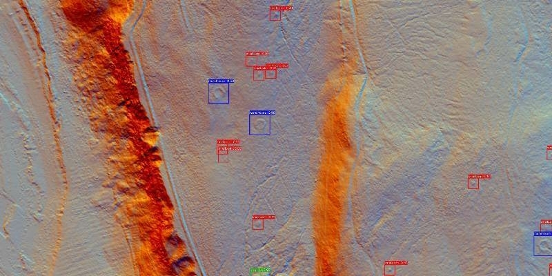
11th January 2021
Student's Space Archaeology start-up showcased at world’s biggest tech show
8th January 2021
ClearSkies Geomatics acquired the AERIALSURVEY.com8th January 2021
USGIF Appoints New Vice President of Programs
8th January 2021
OGC Seeking Information Concerning The Capture And Use Of Spatial Data During Health Emergencies