Share
Leica Geosystems, part of Hexagon, announced a new high-performance single photon LiDAR (SPL) technology that can be integrated into hybrid sensors to boost the efficiency of country-wide geospatial data collection.
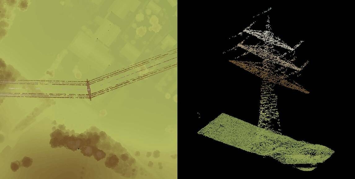
With an expanded 60-degree field of view and over 500 measurement channels, the new single photon LiDAR (SPL) technology significantly surpasses the capability of the previous version, delivering unmatched data collection performance over large areas in less time. The new SPL module was designed to integrate into a hybrid sensor; it is fully compatible with all Leica Geosystems peripherals, including the Leica PAV200 gyro-stabilised mount.
By collecting over 14 million measurements per second, the new SPL provides more than a fivefold increase in LIDAR collection rates compared to traditional linear-mode LiDAR. This advancement allows users to significantly expand the availability and timeliness of high-resolution LiDAR data.
At INTERGEO, Leica Geosystems will showcase a hybrid system, which combines this new SPL module with the industry-leading Leica DMC-4 large-format camera in a single sensor pod. This solution will provide unprecedented productivity for mapping projects requiring both high-density LiDAR data and high-resolution imagery.
This next generation SPL-based hybrid system is fully supported by the Leica HxMap workflow — the only combined imagery and LiDAR integrated workflow. Designed to be modular and fully scalable from single workstations to thousands of compute nodes, HxMap features the highest data throughput, product quality and ensures optimal turnaround time.
As a result of the technology transfer from the acquisition of Sigma Space by Leica Geosystems, the new SPL is designed and manufactured in Switzerland, with commercial availability in 2025.
“The expertise gained with the Leica SPL100 played a significant role in the development of this new LiDAR module," said Werner Kirchhofer, VP of Product Development Airborne Solutions, at Hexagon’s Geosystems division. "We faced two major challenges: enhancing efficiency and achieving a compact design. I’m extremely proud of our team’s groundbreaking efforts to create a new technology that will crucially improve the efficiency of data collection over large areas.”
"By combining Leica Geosystems’ large-format camera’s capability with the new SPL technology, we are ushering in the next generation of airborne hybrid systems," said John Welter, President of Geospatial Content Solutions at Hexagon’s Geosystems division. “As the exclusive provider of single-photon LiDAR technology on the market, this system further establishes Leica Geosystems’ commitment to innovation and leadership in the geospatial industry."
Subscribe to our newsletter
Stay updated on the latest technology, innovation product arrivals and exciting offers to your inbox.
Newsletter

TD_TDID_INTREX-800x400.jpg)