Share
The Trimble Reality Capture platform service streamlines data management, visualization and collaboration
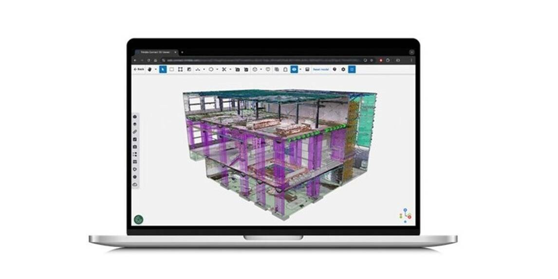
Trimble announced its new Trimble Reality Capture platform service to enable more effective collaboration and the secure sharing of massive reality capture datasets captured with 3D laser scanning, mobile mapping and uncrewed aerial vehicle (UAV) systems. The service is available as an extension to Trimble Connect, a cloud-based common data environment and collaboration platform that has supported more than 30 million users to date. This service is the most recent addition to the Trimble connected workflow ecosystem, connecting the physical and digital worlds and unlocking the transformative power of reality capture data.
Unlocking geospatial data at scale
Built to drive deeper collaboration among owners, contractors, surveyors and more, the Trimble Reality Capture platform service offers a secure and intuitive web-based solution for point clouds and 360-degree imagery. Professionals across building construction, surveying, transportation infrastructure, utilities, energy, mining and more can now collaborate on complex reality capture projects faster and easier, while maintaining data integrity by retaining original accuracy.
"The new Trimble Reality Capture platform service enables our workforce to more easily access data and collaborate between the jobsite and office, creating additional efficiencies across our operations," said Christopher Pynn, digital leader at Laing O'Rourke for Eastern Freeway – Burke to Tram Alliance. "Having a single place for designers, engineers and other stakeholders to review and inspect project data is a real leap forward."
Delivering a connected ecosystem
This new service securely democratizes access to reality capture data, including massive datasets captured by mobile mapping by terrestrial laser scanners like the Trimble MX series and Trimble X9(opens in a new window), as well as data from third-party hardware. Leveraging the extensibility of Trimble Connect that integrates data across Trimble connected software solutions, including Trimble ProjectSight construction management software, SketchUp® 3D modeling tool and Tekla® structural BIM software, as well as third-party system integrators, this new service makes reality capture data accessible to various users. This enables project stakeholders to make more informed decisions and increase operational efficiency by further connecting the site to the office, for end-to-end management throughout a project's lifecycle.
Built for big data
Trimble integrated Microsoft Azure Data Lake Storage and Azure Synapse Analytics to reduce the time ingesting, storing and processing massive datasets. The service is designed to optimize and synthesize data of all sizes for highly efficient management and use of reality capture data throughout connected workflows.
"This new service applies cloud technology in a new way for large data packages, allowing users to significantly scale performance and maximize data value," said Boris Skopljak, vice president, geospatial at Trimble. "Anyone can now benefit from accessing complicated reality capture data through a simple web interface, making it easier than ever to leverage geospatial information to drive better outcomes at every step of the design-build-operate lifecycle. With this launch, we are a step closer to realizing living digital twins and artificial intelligence applications at scale."
"Utilizing the power and multilayered, built-in security controls of Microsoft Azure in combination with Trimble's reality capture capabilities transforms scanning workflows to reduce point cloud analysis time from hours to minutes," said Wangui McKelvey, general manager, Azure data analytics at Microsoft. "Enabling datasets of virtually any size to be easily shared and analyzed across teams means better, safer and more efficient output both on the jobsite and in the office."
Subscribe to our newsletter
Stay updated on the latest technology, innovation product arrivals and exciting offers to your inbox.
Newsletter

TD_TDID_INTREX-800x400.jpg)