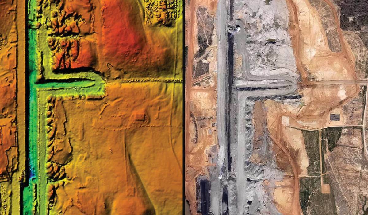
SimActive announces the use of its Correlator3D product by Beacon Aviation to reduce costs of mapping projects.
Operating across the Midwest, Beacon routinely maps long corridors for powerlines or transportation right of ways, large mining operations, and entire water districts.
Specifically, Beacon uses a Phase One camera with a military-grade IMU which can be mounted in any of their fleet of small aircrafts. This setup provides a much more cost-effective solution than their competitors in the burgeoning drone market.
“While one would intuitively think that using drones for mapping is necessarily cheaper, that’s not always the case”, said Marty Gould, Owner and Chief Pilot at Beacon Aviation, Inc. “This use of high-quality equipment mounted on small aircraft, coupled with SimActive software, allows us to rapidly deliver high accuracy mapping data at reasonable costs.”

Subscribe to our newsletter
Stay updated on the latest technology, innovation product arrivals and exciting offers to your inbox.
Newsletter

