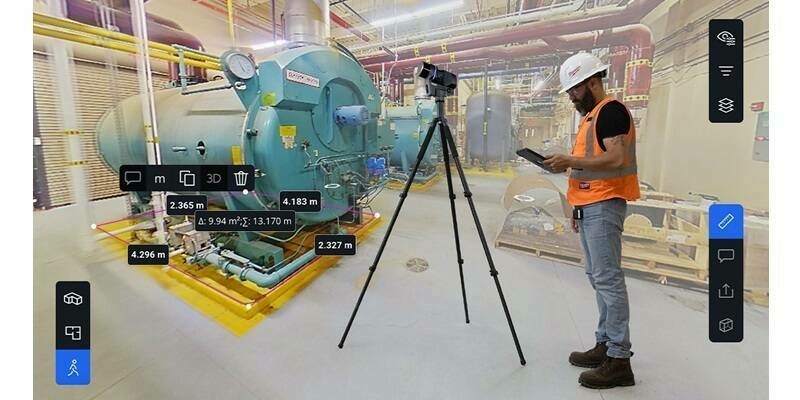
Mach9, the company building the fastest technologies for geospatial production, launched its first product.
The new product leverages AI and computer vision to produce 2D and 3D CAD and GIS engineering deliverables faster than ever before. This product launch comes amidst Mach9's pivot to a software-first business model – a move driven by the rising demand for tools that accelerate geospatial data processing and analysis for infrastructure management.
"The organizations that own and manage our infrastructure are dependent on high quality maps. New mapping technologies, like mobile LiDAR, have transformative potential for engineering and construction firms, departments of transportation, electric utilities, railroads, and other government entities. However, the high costs and long wait times required to generate mapping deliverables are hampering the broad adoption of these amazing tools," says Alexander Baikovitz, co-founder and CEO. "Our goal at Mach9 is to unlock this potential by creating a geospatial production platform for those that need high quality maps and actionable data fast."
The rapidly growing geospatial technology industry has been driven by recent advances in data collection via "reality capture" solutions such as 360 degree cameras, remote sensing on drones, and mobile LiDAR. These systems generate unprecedented three dimensional data on real-world objects such as buildings, roads, highways, railroads and above ground utilities – setting a new standard for 2D and 3D maps that is more accurate and extensive than conventional mapping methods. However, these massive data sets, which are often composed of both high resolution imagery and LiDAR point clouds, are highly-complex and require labor and time intensive processes in order to convert them into usable maps and "Digital Twins".
Subscribe to our newsletter
Stay updated on the latest technology, innovation product arrivals and exciting offers to your inbox.
Newsletter

