Thu, Jun 21, 2018 11:00 AM - 12:00 PM BST
Welcome to ALPHAGEO & APLITOP: webinar about TcpMDT with Point Cloud Module applied for surveying field.
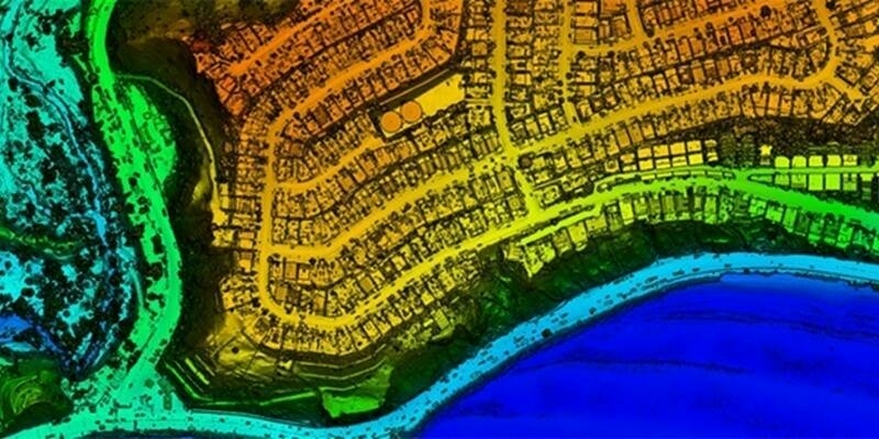
The application enables the users to view and process point clouds created by LIDAR technology, scanners or photogrammetry software.
It is possible to manage millions of points imported from files in common formats. Points can be viewed in natural color, intensity or category. The point cloud can also be viewed in stereoscopic mode with active or passive systems.
For further information and to register
Subscribe to our newsletter
Stay updated on the latest technology, innovation product arrivals and exciting offers to your inbox.
Newsletter

