Share
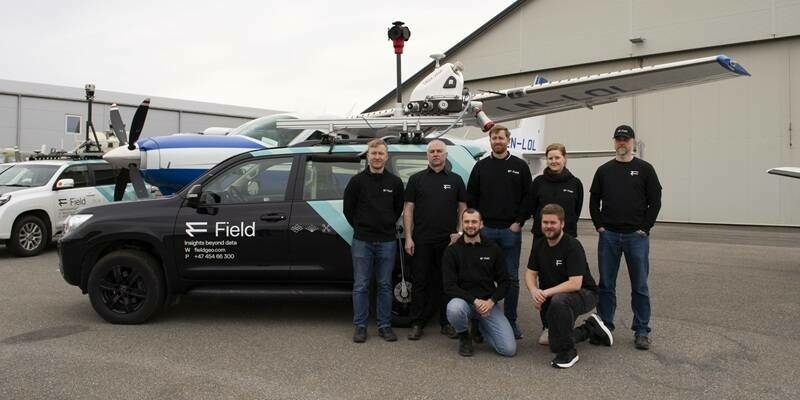
Woolpert, Inc and iXblue Sea Operations division, part of the French based iXblue Group, have been awarded two significant airborne LiDAR mapping projects in New Zealand covering over 38,500 square kilometres for the Hawke’s Bay and Waikato regional and local councils.
These projects are part of the New Zealand government’s Provincial Growth Fund LiDAR programme in which Ministry of Business, Innovation and Employment, Land Information New Zealand and Councils are working together to develop 3D models of landscapes that contribute to the economic development of regional New Zealand.
The LiDAR information has intended use with land management decisions, roading design, precise understanding of sea-level rise impacts, stormwater design, and geohazard mapping including surface change, faults, liquefaction and slips.
iXblue and Woolpert formed their strategic partnership in 2019 and have steadily built its regional capability since. Their key focus is the collection, processing and delivery of Airborne Digital Imagery, Topographic LiDAR and Bathymetric LiDAR operations from helicopter and fixed wing platforms providing custom solutions to commercial and government clients across Australia and New Zealand.
Subscribe to our newsletter
Stay updated on the latest technology, innovation product arrivals and exciting offers to your inbox.
Newsletter