INTERGEO 2022 will take place from October 18 - 20 in Essen | Focus on Digital Twins: 3D city models, BIM in surveying and digital urban planning | Europe's leading trade fair for commercial drones integrated into INTERGEO
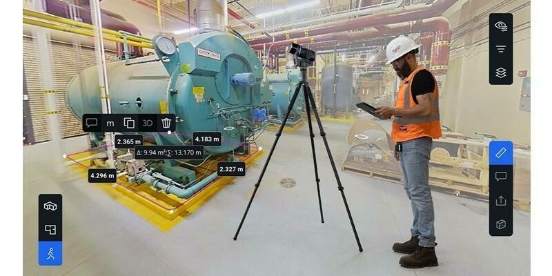
From urban quarters to entire construction projects to transport or climate protection measures: Digital twins show planning, maintenance and future scenarios interactively and realistically in a 3D model. At the same time, the three-dimensional image, the so-called digital twin, is linked to real parameters such as environment, time and condition. A look ahead to INTERGEO 2022 shows: many of the registered companies are currently implementing reality capture - they capture reality in real time with lasers, scanners, point clouds and sensors. By air, by ground and by water. Technologies and devices behind them are intuitive, mobile and sometimes look almost sporty. Similar to a backpack, you can simply carry them around, take them in your hand, attach them to a car, a UAV or tripod and off you go. Everything that is captured is based on geodata and geoinformation and is contextualized: Where is this and what is around it? This provides a 3D model as an integration basis that can be supplemented with further information from different systems, for example real-time data, sensor data, work orders or asset management data. The world thus becomes smarter.
Focus on Digital Twins
Digital twins play an important role in the further development of urban data platforms in the context of smart cities. By connecting the digital twin with other data from various systems, enormous value is added through the information derived from it. Christiane Salbach from the organizer DVW e.V. explains this with an example: "If we have separate data on rainfall and terrain information, we can only make predictions on possible flooding risks by connecting the data. At INTERGEO, we have already been able to see this development for several years. That is why this year, we are focusing even more on the Digital Twins and their applications, but above all on their potential for social issues such as mobility of tomorrow, urban planning, or climate change. We will show the benefits of 3D city models, BIM in surveying and digital twins for use in city planning. The technologies here are very advanced. Resolution, real-time data processing and the resulting fields of application are diverse and impressive. I can only recommend everyone to visit us in October and see for themselves," emphasizes Salbach, who is looking forward to meeting the global geospatial community this autumn.
Digitalisation Of The Construction Industry
Digital twins can give all participants intuitive and contextual access to a three-dimensional world in the context of construction and planning processes. Construction projects can be simulated, adapted, and implemented with BIM (Building Information Modelling). Construction, planning, and maintenance become more efficient and cost-saving. The digitalisation of the construction process is progressing ever faster. "Digital technologies are now being used on a larger scale and not only in design and construction, but also in operation and maintenance - in other words, in what we call the entire life cycle of a facility," says Ilka May, CEO of LocLab Consulting GmbH, a company specialized in the creation of Digital Twins.
Subscribe to our newsletter
Stay updated on the latest technology, innovation product arrivals and exciting offers to your inbox.
Newsletter

