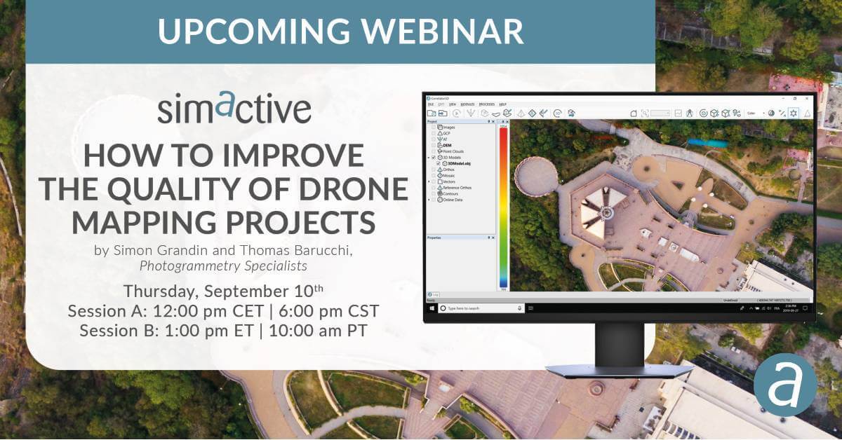
Producing high-quality photogrammetric products such as point clouds, DSMs, DTMs and orthophotos from drone imagery can be challenging.
Results are highly dependent on the collected data and often need to be controlled before processing. This training session will discuss how to produce the best possible results using a drone.
Specifically, attendees will learn about practical solutions on different real-world scenarios:
- Collecting optimal drone imagery
- Performing quality control on raw data
- Cleaning-up input datasets
- Optimizing processing workflows

Subscribe to our newsletter
Stay updated on the latest technology, innovation product arrivals and exciting offers to your inbox.
Newsletter

