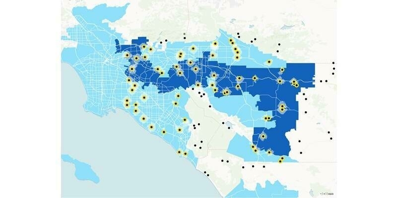
Golden Software has added significant time-saving features to the latest version of its Surfer mapping and 3D visualization software.
Users can now choose from more than 20 frame templates to quickly create their maps and project files. They can also easily download georeferenced aerial and satellite images from new online services with reliable, global coverage to add context to their maps.
“Our primary goal with the latest Surfer was to save users time in making high-quality visualizations,” said Surfer Product Manager, Kari Dickenson. “The new templates and direct access to these new online image servers means that Surfer users create their final 3D visualizations faster and with fewer clicks.”
Over 100,000 people have used Surfer worldwide, many are involved in environmental consulting, water resources, engineering, mining, oil & gas exploration, and geospatial projects. The software has been relied upon for more than 40 years by users in numerous disciplines to quickly transform complex data into superior 2D and 3D visuals with accuracy.
Known for its fast and powerful contouring algorithms that regularly outperform more expensive packages, Surfer enables users to model data sets, apply an array of advanced analytics tools, and visually communicate the results in a way that even the non-technical stakeholders can understand.
Subscribe to our newsletter
Stay updated on the latest technology, innovation product arrivals and exciting offers to your inbox.
Newsletter

