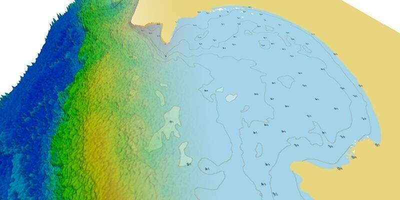
A vacancy has arisen for a Geospatial Analysis Trainer based at RAF Wyton in Cambridgeshire. Geospatial analysis referes to the mainpulation of geographic data to identify environmentally relevant information that is referenced to geography and that can also be referenced to time. This kind of analysis uses tools including geographic information system (GIS), global positioning systems (GPS), georeferencing, metadata and remote sensing.
There is ever-growing demand within the Intelligence Community for qualified Geospatial Analysts with expertise in the acquisition, representation and analysis of geographic information. This is an exciting and challenging role intended to design and implement rigorous scientific and technical training for the next generation of Geospatial Analysts within the National Centre for Geospatial Intelligence (NCGI) based in Cambridgehire.
To apply, click here
Closing date; 11 November 201
Quote Ref: 1581130
The MOD is an Equal Opportunities employer and seeks to reflect the diverse community it serves. Applications are welcome from anyone who meets the stated requirements.
Subscribe to our newsletter
Stay updated on the latest technology, innovation product arrivals and exciting offers to your inbox.
Newsletter

