Share
Field (Field Geospatial AS) is a premier Norwegian technology and geomatics company renowned for its expertise in collecting and analyzing geographical data.
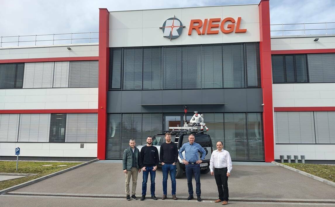
Specializing in aerial data capture, mobile mapping, and surveying, Field offers an extensive array of services to both public and private sectors throughout the Nordics and internationally. With the addition of a RIEGL VMX-2HA Mobile Mapping System, Field is strengthening its leadership in the data capture market. This expansion enables Field to deliver highly detailed Reality Capture services for infrastructure, roadways, and terrain within the region.
"Following a comprehensive evaluation process, RIEGL stood out as the only provider capable of meeting our high standards for both data precision and efficiency," says Leif Erik Blankenberg, CTO at Field.
Field has procured the advanced RIEGL VMX-2HA, a high-speed, high-performance dual scanner mobile mapping system installable on cars or other moving vehicles. Complementing this system is the Ladybug 6 360-degree camera and advanced pavement analysis cameras, ensuring unparalleled precision in data capture for diverse applications. The new system will be fully operational and ready for customer projects by mid-April 2025.
Revolutionizing infrastructure planning and documentation
Mobile mapping technology revolutionizes data collection by using advanced laser scanning systems to capture precise environmental information along roads, railways, and other infrastructures. This data is transformed into Field’s cloud-based system, Mapspace, allowing customers to visualize, analyze and get insights into the data.
“We are thrilled to continue our long-term relation with Field and making our innovations accessible to the Nordic market. Field is a strong partner to us that can accelerate customer benefits taking advantage of our latest technology”, says Dr. Harald Teufelsbauer, RIEGL Mobile Laser Scanning Business Division Manager.
The versatility of this system enables deployment across multiple platforms, including cars, trains, and electric vehicles, reinforcing Field’s commitment to sustainable solutions. Additionally, the technology integrates smoothly with Field’s existing airborne laser data processing workflows, providing enhanced efficiency and accuracy. The high-quality data from the new RIEGL Mobile Mapping system enables detection of road-side objects and analyzing the data with Field’s AI-tools.
"Our investment in this cutting-edge technology underscores our commitment to delivering top-tier solutions across the Nordic region," says Mikko Salonen, Executive Vice President at Field. "This system empowers us to tackle a wide range of projects with greater speed, flexibility, and precision, helping our customers achieve their goals more effectively."
With the new technology from RIEGL, Field now provides the most extensive mapping services in the Nordics, serving Norway, Sweden, Finland, and Denmark while also looking at opportunities in northern Europe.
Subscribe to our newsletter
Stay updated on the latest technology, innovation product arrivals and exciting offers to your inbox.
Newsletter