Share
Expanded Collaboration to Enhance Spatial Capabilities for Customers
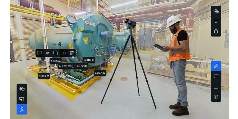
To meet the demand for advanced spatial analytics and improved data integration in asset management software, Esri, the global leader in location intelligence, announced today at the 44th annual Esri User Conference an expanded collaboration with IBM. ArcGIS Enterprise on Kubernetes integrated with the IBM Maximo Application Suite is now available as an add-on, enabling users to visualize, analyze, and manage spatial data for indoor and field operations more effectively.
The integrated ArcGIS Enterprise and IBM Maximo Application Suite product is designed to give clients access to a more holistic view of asset locations, conditions, and performance, as well as augmented maintenance scheduling and resource allocation capabilities.
ArcGIS Enterprise on Kubernetes enhances users' ability to conduct spatial analysis, assess proximity, and strategize asset expansion. Improved features also include the creation of detailed maps, reports, and dashboards that combine spatial data with other crucial operational information. By combining these software tools, users can automate asset inspections and optimize performance to streamline maintenance processes, supporting efforts to enhance operational efficiency and contribute to sustainability goals. The collaboration aims to optimize operations and provide deeper insights for informed decision-making across IBM's diverse customer base, which spans industries such as energy, utilities, manufacturing, natural resources, government, entertainment, and transportation.
Subscribe to our newsletter
Stay updated on the latest technology, innovation product arrivals and exciting offers to your inbox.
Newsletter