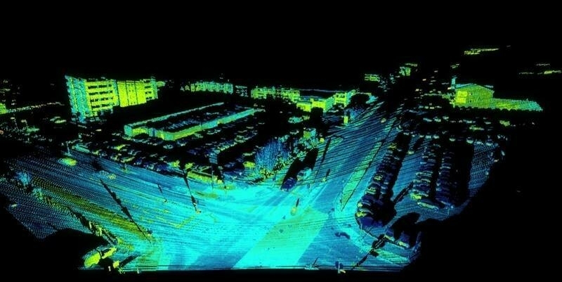
To support users in the intelligence and national security community, Esri, the global provider of location intelligence, has released ArcGIS AllSource.
The new desktop software turns raw data into decision support by combining data from multiple sources. Analysts can leverage built-in link analysis, 2D and 3D maps, timelines, imagery exploitation, graphs, and video to uncover patterns, trends, and relationships in data to inform decision-making.
“As GIS data becomes more pervasive throughout organizations, intelligence analysts and auditors need a tool that integrates that information with the rest of their data,” said Patty Mims, Esri director of business development, global national government. “ArcGIS AllSource is that tool. We are bringing the support of the entire ArcGIS Enterprise system—and the same powerful analytic desktop software capabilities that our users have come to expect from GIS products—to intelligence professionals.”
ArcGIS AllSource is designed for intelligence professionals working in civilian intelligence agencies, commercial organizations, law enforcement, and the military. By integrating with existing organizational ArcGIS infrastructure, AllSource saves analysts time and reduces spending. The software is compliant with industry standards, allowing professionals to share and leverage data easily while working with other systems and applications.
Subscribe to our newsletter
Stay updated on the latest technology, innovation product arrivals and exciting offers to your inbox.
Newsletter

