Leveraging generative AI from the global leader in GIS to power maps, dashboards, and analysis using open data
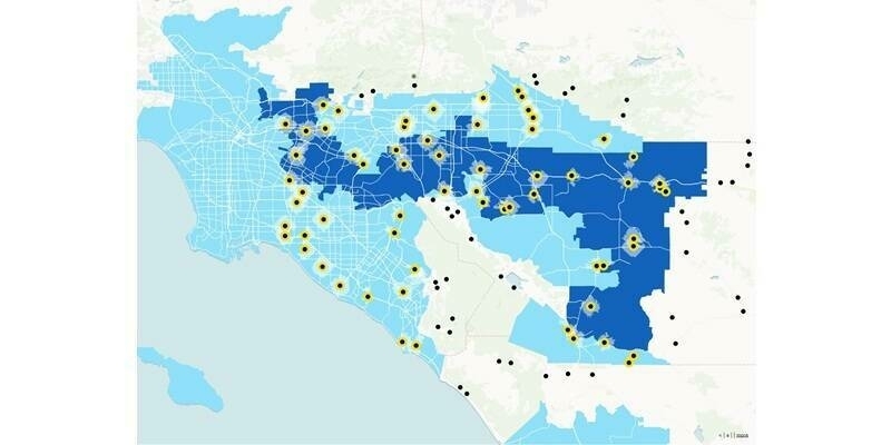
The Office of the Chief Technology Officer (OCTO) and Esri, the global provider of geographic information system (GIS) technology, location intelligence, and mapping, launched a public beta version of the ‘DC Compass’ which uses generative artificial intelligence to answer data-oriented civic questions and create maps from thousands of open data sets.
The launch follows a 6-month private beta which allowed DC to work with Esri to improve the software to provide intuitive answers to requests. DC Compass is powered by Esri’s cloud-based mapping and analysis platform ArcGIS Online.
The new Compass AI Assistant can be tested at opendata.dc.gov. OCTO and Esri indicated they want more users to put the new software to the test and want feedback to continue to improve the speed, accuracy, and usefulness of DC Compass’ responses. You can access the Compass Online using an existing account or by creating a free community account.
Subscribe to our newsletter
Stay updated on the latest technology, innovation product arrivals and exciting offers to your inbox.
Newsletter

