Share
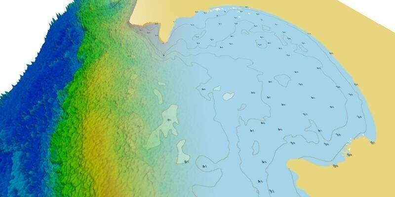
The technique, developed at the University of Exeter (www.exeter.ac.uk) combines the use of drones and photogrammetry (extracting measurements from photographs) with accurate GPS satellite location to create detailed digital models of coastal habitats.
Previous methods were either cheap but low in quality, or high-quality but cost thousands of pounds to produce.
Scientists tested the technology at Alagadi in Cyprus – a key nesting site for loggerhead and green turtles – and found that a sea level rise of 1.2 metres would result in the loss of up to 67% of loggerhead nesting sites and 59% of those used by green turtles.
“Being able to accurately map out terrains in such a fine and local scale is crucial if we want to develop effective conservation strategies,” said lead author Miguel Varela, of the Centre of Ecology and Conservation on the University of Exeter’s Penryn Campus in Cornwall.
“Most of the studies on climate change impacts are done on a global scale, but is also crucial to understand what will happen on local areas.
“This method allows us to create realistic digital models that are highly accurate (less than 10cm error). This is a fine scale when compared to global projections.
“It’s ideal for surveying coastal sites, but could also be applied to other habitats and species, and be used to help identify wildlife protection areas.”
In this case study, the researchers combined their imagery of Algadi’s beaches with data on the location and depth at which turtle eggs are laid.
Professor Brendan Godley, who supervised the research, added: “Although some beaches may effectively move inland as sea levels rise, natural and human-made barriers will prevent this is some places.
“Thankfully, we can see from our modelling that our site has resilience and because of good management at our site, there is room for the beach to migrate landwards.”
The paper, published in the journal Global Change Biology, is entitled: “Assessing climate change associated sea level rise impacts on sea turtle nesting beaches using drones, photogrammetry and a novel GPS system.”
Subscribe to our newsletter
Stay updated on the latest technology, innovation product arrivals and exciting offers to your inbox.
Newsletter