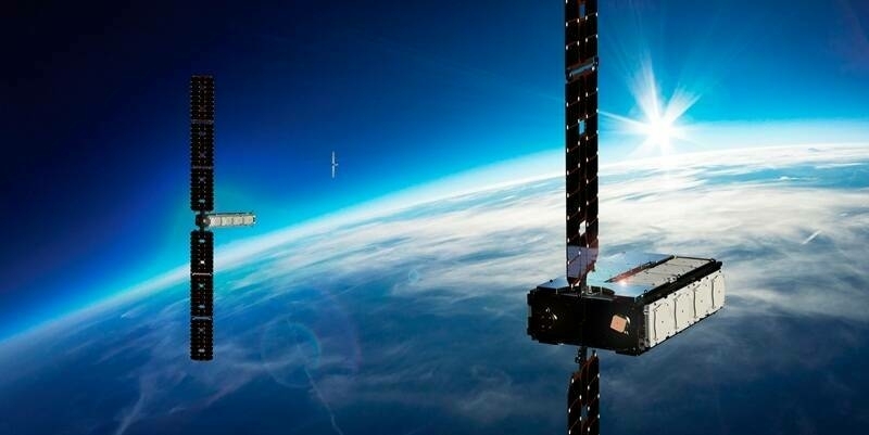
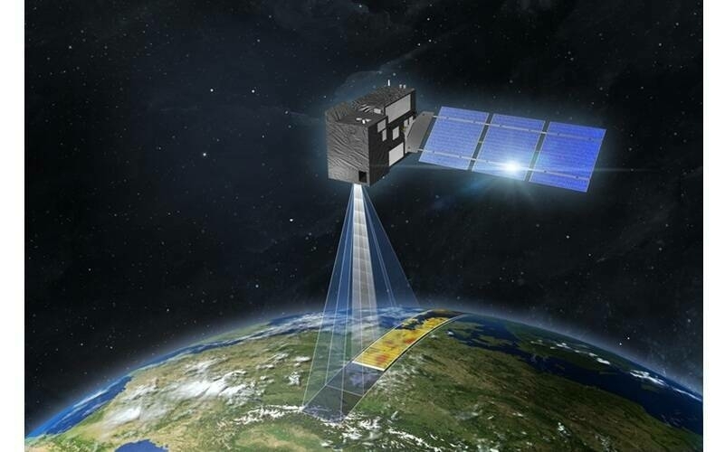
Two of DigitalGlobe’s high-resolution imaging satellites (GeoEye-1 and WorldView-3) collected new imagery this morning, September 13, 2018, of the large Russian military exercise (known as Vostok 2018) being conducted at the Tsugol training area in eastern Russia. Today’s satellite imagery captured an airborne paradrop in progress with Il-76 Candid airplanes in flight dropping airborne fighting vehicles, equipment and personnel with parachutes. Additionally, the images reveal the scale and scope of the exercise, with thousands of armored vehicles, artillery and equipment assembled in formation and conducting a parade while Russian President Putin reportedly observed the forces.
Here is the link to download the high-resolution images: https://digitalglobe.box.com/s/4pw8vb183sezpht5rxw3j83r71fb10i4
Read More:
Data Capture
Satellite Positioning, Navigation & Timing (PNT)
Cartography
GIS
Terrestrial Surveying
Satellite Imaging
Education & Research
Subscribe to our newsletter
Stay updated on the latest technology, innovation product arrivals and exciting offers to your inbox.
Newsletter


