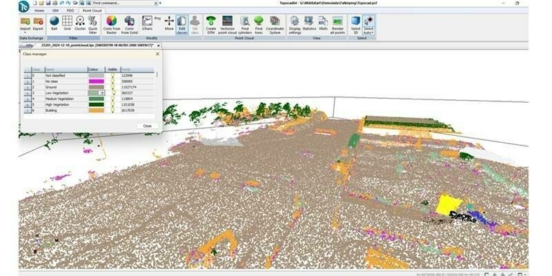
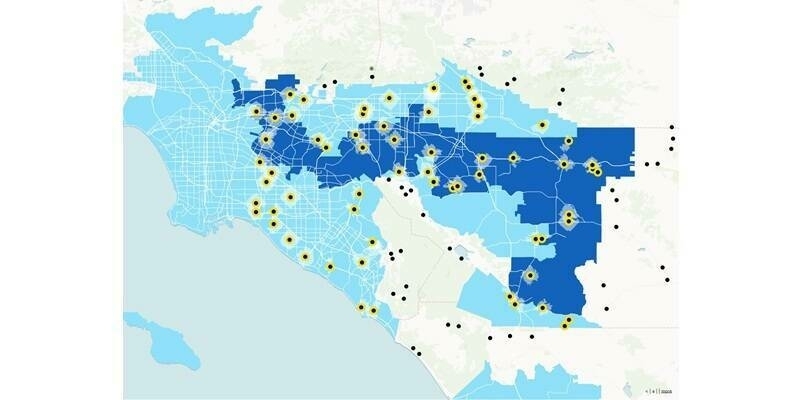
The service release applies to all Cadcorp SIS 8.0 desktop products as well as GeognoSIS®, Web Map Layers and Notice Board™. It allows a range of new data, supplied directly from Ordnance Survey, to be loaded into Cadcorp SIS including OS MasterMap Greenspace Layer, OS MasterMap Highways Network and OS MasterMap Water Network.
Cadcorp Web Map Layers has been updated as part of the release to include support for Federated Security. It also offers the facility to use the OS Places API in Quick Search and improved feature selection in the application’s mobile interface.
The release incorporates a number of bug fixes, software updates and performance enhancements. To find out more, visit the Cadcorp website.
About Cadcorp
www.cadcorp.com
Cadcorp is a British software development company focused on geographic information system (GIS) and web mapping software. It offers a complete suite of products - the Cadcorp Spatial Information System® (Cadcorp SIS®) - addressing all phases of spatial information management. Cadcorp SIS® is available worldwide through a network of Cadcorp partners, via a direct sales team in the UK and is an approved GIS supplier on G-Cloud.
Subscribe to our newsletter
Stay updated on the latest technology, innovation product arrivals and exciting offers to your inbox.
Newsletter

