Share
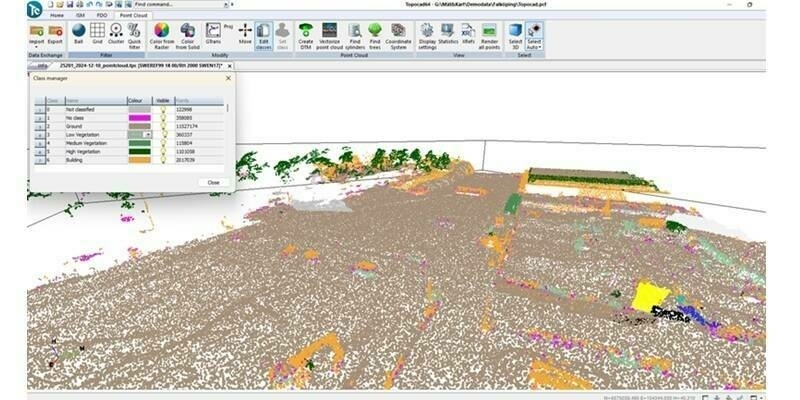
Cadcorp has launched FindIT as an add-on to its off-the-shelf web mapping application Web Map Layers. Primarily designed for Local Authorities, the tool provides a simple way to query a large number of data layers (typically planning constraints but other data layers can be used), by user-defined area. The results are available for viewing on screen, to download as a PDF and are recorded along with the search item geometry in SQL Server, PostGIS or Oracle databases.
The FindIT desktop tool works by allowing the user to define a search area and runs a query to find intersecting and contained features. A number of options are provided for defining the search area. The user can either draw an area freehand, select an existing feature or an OS MasterMap polygon (say a building outline). Running the search will find all features that touch, overlap or are completely within the drawn polygon.
Cadcorp has released FindIT in response to requests from local authorities wanting to make Local Land Charges (Con29) and Planning Application searches less time-consuming. It allows the user to search a large number of datasets, even if stored in different directories, and displays the results in a comprehensible report. This will significantly reduce the labour of finding out what constraints might affect a chosen site.
For more information on Cadcorp FindIT and Cadcorp Web Map Layers, visit https://www.cadcorp.com/.
About Cadcorp
www.cadcorp.com
Cadcorp is a British software development company focused on geographic information system (GIS) and web mapping software. It offers a complete suite of products - the Cadcorp Spatial Information System® (Cadcorp SIS®) - addressing all phases of spatial information management. Cadcorp SIS® is available worldwide through a network of Cadcorp partners, via a direct sales team in the UK and is an approved GIS supplier on G-Cloud.
Subscribe to our newsletter
Stay updated on the latest technology, innovation product arrivals and exciting offers to your inbox.
Newsletter