Share
Aerial mapping company Bluesky International has capitalised on the recent fine weather and clear airspace to achieve an unprecedented start to the 2020 survey season.
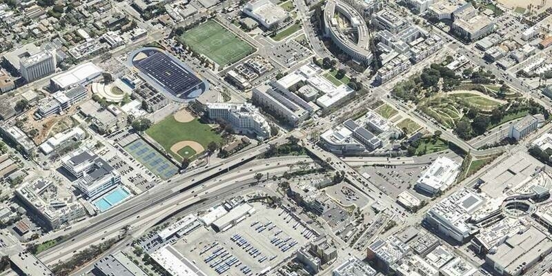
Bluesky has already captured in excess of 130,000 square kilometres of imagery updates across the UK and Ireland. Covering nearly half the total area of the UK this total includes ultra-high (5cm) resolution data for a number of cities including Central London, Manchester, Newcastle, Leicester and Derby.
This impressive flying record, completed in just two months of the main flying season, also includes the completion of their first full coverage layer of the Republic of Ireland. This makes Bluesky the only company to have full coverage of the Republic of Ireland, England, Scotland and Wales.
“It was a difficult start to the flying season as the country went into lockdown and we were not sure we would be able to operate at all,” commented Rachel Tidmarsh, Managing Director of Bluesky International. “But, with support from flying bases across the UK, air traffic control, and, of course, our own operations team we have been able to capture a phenomenal amount of data in a very short time all whilst adhering to government guidelines and maintaining social distancing.
“The combination of the fantastic weather we have been enjoying and reduced traffic in the skies has meant that we have already captured a record amount of data,” she continued, “so, assuming the weather continues to be kind to us, we are on course for an exceptional year.”
An aerial survey company with a reputation for creating innovative geospatial data products, Bluesky usually manages its UK operation from its global headquarters in Ashby-de-la-Zouch, Leicestershire with planes operating out of the nearby East Midlands airport. However, as a result of lockdown, all office staff are currently operating from home.
The successful start to the 2020 flying season will see more than 130,000 square kilometres of aerial imagery at resolutions, ranging from 25 centimetre to highly detailed 5 centimetre, added to Bluesky’s nationwide archive of aerial photography and derived products. This data will also update both national and international contracts with government organisations, utility companies and global blue chip companies.
To support its ambitious flying plans Bluesky also recently invested in upgrades to its existing digital photogrammetric camera and LiDAR systems strengthening its position at the forefront of aerial survey in the UK. This allows Bluesky to reduce the ratio of flying time to square kilometres captured which means higher capture rates and reduced flying times.
Subscribe to our newsletter
Stay updated on the latest technology, innovation product arrivals and exciting offers to your inbox.
Newsletter