Share
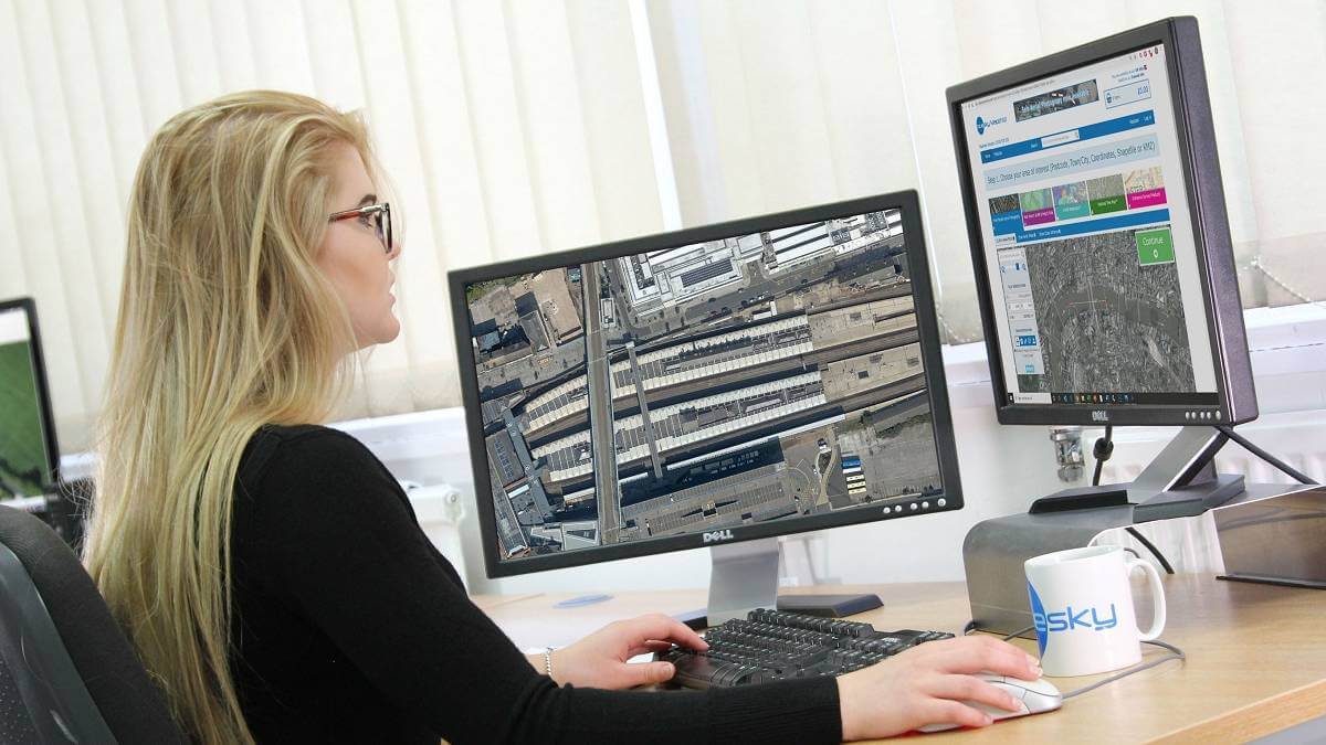
The most up to date, accurate and high-resolution aerial imagery and height data is now available online for immediate download, providing users access to real world locations from the safety of their own home, office or mobile device.
“With remote working rapidly becoming the new norm it is essential that users can continue to experience and understand the locations, sites and environments they would normally operate in,” commented Rachel Tidmarsh, Managing Director of Bluesky International. “Geographic data provides this intelligence like no other solution. From the safety of a screen users can assess access points, make condition assessments and even plan the deployment of resources – without stepping foot outside or near another person.”
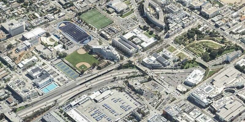
In the latest move by Bluesky International more than 100,000 square kilometres of aerial photography has been added to its digital Mapshop covering areas such as Newcastle, Exeter and Hull as well as parts of County Durham, Devon and Lincolnshire. The recent update also includes digital height data modelling both the earth’s surface as well as buildings and vegetation.
Bluesky is also adding ultra-high resolution (5 centimetre) imagery of London, Nottingham, Brighton, Cambridge, Newcastle and Oxford, captured using its CityMapper hybrid airborne sensor, and geographically accurate, photo realistic MetroVista 3D mesh models of several major UK cities including Birmingham, Bristol and the capital. To complement the digital imagery there are 25cm Digital Surface Models (DSM) and 5 metre Digital Terrain Models (DTM).
Different epochs of both imagery and height models have also been added to the Bluesky Mapshop, equating to more than a million square kilometres of data. These datasets, dating from 2016 to 2019, provide context for the most up to date solutions and can provide details for temporal change analysis or site history studies.
Subscribe to our newsletter
Stay updated on the latest technology, innovation product arrivals and exciting offers to your inbox.
Newsletter