Share
Increased efficiency, improved safety, and reduced costs – world-renowned engineering and design company Atkins is benefiting from drones.
Unmanned aircraft has become a key tool for the company’s aerial mapping missions, helping to mobilise quicker and get higher-resolution images compared to the traditional
method of deploying manned aircraft. Atkins is also using this technology to create highly-detailed and accurate 3D models and says it wants to educate its clients on what can be achieved with drones.
James Fleming, Geomatics Consultant (UK & Europe) at Atkins, said: “Our primary offering within the geomatics team is aerial mapping, so for us the traditional way of capturing data is with a manned aircraft.
“While we still use planes and helicopters on many of our largest projects, drones allow us to mobilise quicker and reduce costs when surveying small to medium-sized sites.
“We’re also able to capture higher resolution images – down to sub-cm from drones vs 2-3cm from manned aircraft – and combine mapping and inspection surveys into the same site visit, increasing efficiency.
“When compared with terrestrial survey methods, drones dramatically reduce the amount of time the survey team spends walking the site, allowing us to reduce or even eliminate the time spent working in potentially dangerous environments.”
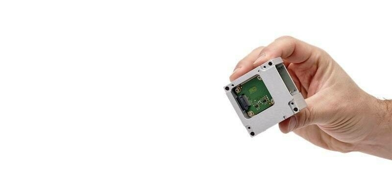
As part of its operations, Atkins turned to UK drone specialist Heliguy to integrate a Sony RX1R II sensor with a DJI M600 Pro drone – providing a tailored solution to meet the business’s specific survey requirements. Heliguy’s R&D department created a solution which involved a custom cable to trigger the camera and power the Sony device from the gimbal’s power supply.
Pairing the high-tech 42MP camera with the drone and a high-precision GNSS (Global Navigation Satellite System) has allowed Atkins to capture and generate accurate and repeatable data.
James said: “Heliguy was able to integrate our chosen sensor which, when combined with our high-precision GNSS, enables us to capture and generate accurate, repeatable data.
“Heliguy’s design and development focus was a big part of why we chose them to assemble our chosen drone. The build and handover process of our M600 went very smoothly and the team has been very quick to respond to any queries we’ve had since purchasing the kit.”
Subscribe to our newsletter
Stay updated on the latest technology, innovation product arrivals and exciting offers to your inbox.
Newsletter