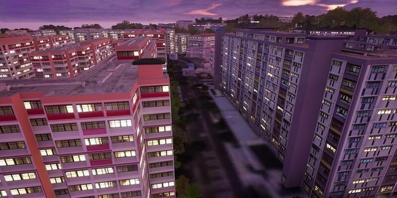
Photogrammetry processing software performs image matching to find common points between photographs to form a 3D model. Even with good images and easily identified tie points, the generated 3D model could be distorted compared to the ground.
To overcome this issue, using a network of ground control points (GCPs) is the common solution. This helps in getting some good results in the proximity of GCPs, but in between GCPs the quality of the model is still defined by the image tie points and could be drifting to some degree between GCPs.
Measuring GCPs can also be very time consuming particularly if access to a site is difficult or requires authorization.
Most modern photogrammetry and drone processing software solutions now support weighted camera positions, i.e. if you have highly accurate camera positions, instead of using just GCPs, the camera positions essentially blanket the entire project with hundreds of control points in the air. Minimal site access is required and minimal time is spent placing GCPs.
To get highly precise camera coordinates, there are two type of camera positioning systems on the market; real time kinematic (RTK) with corrections from a base station via a radio link while the drone is flying, and post processed kinematic (PPK) that doesn’t require real time base station data during the flight.
With RTK, the quality, power and range of the radio link, data latency and the real time processing, lead to less accurate camera positioning results.
These issues are not valid for PPK camera positioning where the raw GNSS data is stored and post processed. The base and rover data sets are complete, cleaner, and the rigorous PPK processing results in a more robust solution.
There are of course other error sources such as camera focal length variation, which particularly translates to errors in height. For accurate 2D mapping, no GCPs are required, and for 3D models this error is corrected by using just one or two GCPs on an entire site.
Klau Geomatics Pty Ltd have developed a plug and play PPK system that works with virtually any drone and any camera. It captures camera exposure events with the GNSS data from a quality Novatel GNSS board. The photo centres are then input into the photogrammetry workflow with a proven, repeatable accuracy of 0.03m achieved over the entire project area.
Klau Geomatics is working to further automate the PPK workflow and streamline precise map production from any drone, with integration into popular desktop photogrammetry products and a complete cloud processing solution coming soon.
Survey control is essential to build a solid framework to produce very accurate UAV mapping results.
Robert Klau, BSurv(UNSW), SSSI registered engineering surveyor, director of Klau Geomatics Pty Ltd.
Subscribe to our newsletter
Stay updated on the latest technology, innovation product arrivals and exciting offers to your inbox.
Newsletter

