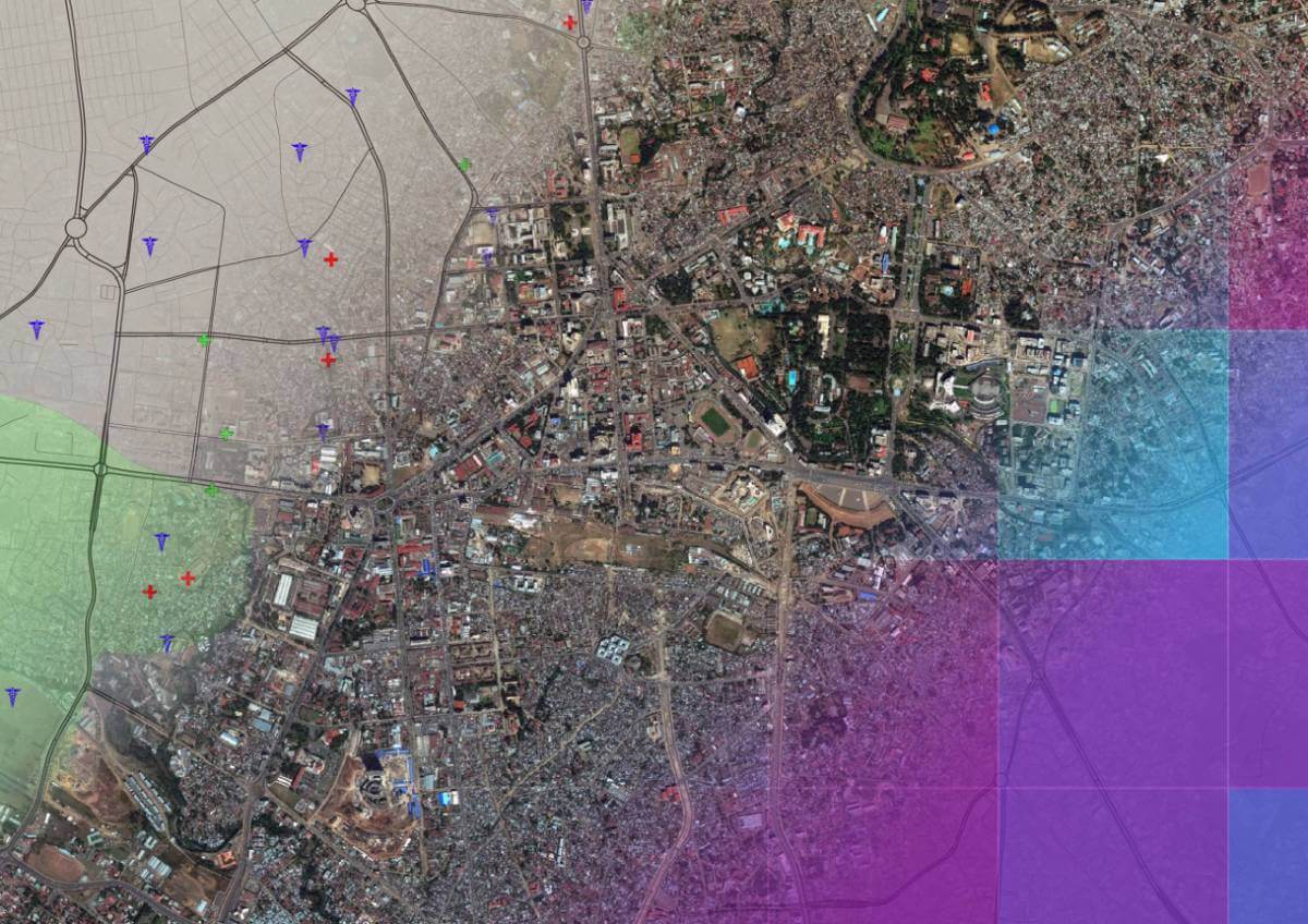
Earth observation company 4 Earth Intelligence (4EI) has launched a suite of data layers providing an insight into a country’s wealth, demographics and transportation links.
Derived from satellite imagery and other reputable resources, including the World Bank, Open Street Map, census records and historical archives, the Country Intelligence data suite has been created to support economic analysis, policy making and SMART Sustainable Development Goals (SDGs) reporting.
“Satellite imagery records what is happening on the planet rather than what is being reported and so is the perfect resource, when combined with multiple, validated data sources, to provide off the shelf resources for countrywide intelligence on economic and societal health,” commented David Critchley, Chief Executive Officer of 4 Earth Intelligence. “Whilst each layer has enormous potential to inform the creation of adaption strategies, including the delivery of SDGs, and emergency responses the true potential of the Country Intelligence suite is released when the layers are used in combination.
“Combinations of the data can reveal powerful insights which early adopters are already using for sustainable development baselining, reporting and verification as well as gap reporting, intervention planning and impact assessment,” he continued. “Other applications include situational awareness and investment targeting, such as for new infrastructure and corporate investment opportunities.”
The 4EI Country Intelligence suite includes six distinct layers that are provided as a mixture of point, line and polygon features ready for use in desktop mapping software and Geographical Information Systems (GIS). The layers; Demographics, Land Cover, Points of Interest, Significant Events, Transport and Wealth Index, have all been created using satellite imagery in combination with other geospatial and archival resources. The data is already available, off the shelf, for a number of countries across the Middle East and Africa and other areas can be produced on request.
Defined by the United Nations as part of its 2030 Agenda for Sustainable Development, SDGs include No Poverty, Zero Hunger, Affordable and Clean Energy and Climate Action for example. By providing the most current countrywide data available the 4EI Country Intelligence suite can paint a picture of countries economic situation for investment potential, identify where hazards might affect an existing or proposed asset and give an insight into potential supply chain risks.

Subscribe to our newsletter
Stay updated on the latest technology, innovation product arrivals and exciting offers to your inbox.
Newsletter

