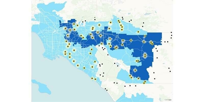
Through Collector for ArcGIS, 1Integrate has added mobile capability to its automated data validation and management for the ArcGIS platform. 1Integrate allows organisations to assess the quality of data to ensure it meets defined specifications and is fit for purpose. It also performs rules-based data re-engineering tasks, such as cleaning data, transforming data or creating new data from existing data assets.
Chris Tagg, Global Head of Innovation at 1Spatial explained, “We are delighted to have extended our offerings with Esri to its Collector functionality. 1Spatial technology can be used to solve data problems, wherever they occur. Making 1Integrate for ArcGIS available on Collector for ArcGIS allows mobile users the capability to improve and validate data in the field. It delivers mobile workers the information on which to make timely and informed decisions, and ensure the accuracy of the data collected."
1Spatial provides the software solutions and services that manage the world’s largest spatial big data. We work with users and creators of the largest geospatial databases on earth, helping them collect, manage, plan, maintain, publish and interpret location-specific information.
Our clients include National Mapping Agencies, Land Registries, utility and telecommunications companies, and government departments including emergency services, defence and census bureaus.
A leader in our field, we have over forty five years’ experience and a record of continual innovation and development. Today, with an ever increasing reliance on spatial and location-critical data, demand for our expertise has never been greater.
Subscribe to our newsletter
Stay updated on the latest technology, innovation product arrivals and exciting offers to your inbox.
Newsletter

