
VertiGIS Integrator Streamlines Waste Management for IVAGO in Ghent
18th April 2025
VertiGIS Integrator Streamlines Waste Management for IVAGO in GhentNews as it happens! Keep in touch with the latest developments in business and technology in the regions or worldwide.
18th April 2025
VertiGIS Integrator Streamlines Waste Management for IVAGO in Ghent
18th April 2025
ION GNSS+ 2025 Program Online and Registration Now Open
17th April 2025
Topcon launches CR-H1 handheld reality capture solution for maximum mobility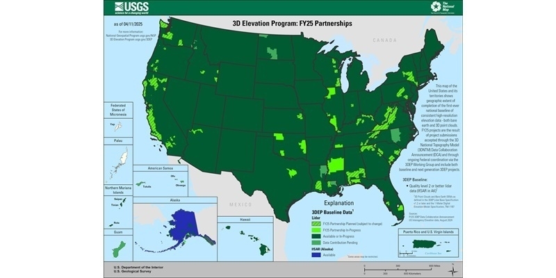
17th April 2025
USGS Selects Woolpert to Provide Elevation-Derived Hydrography for State of Tennessee
16th April 2025
PIX4Dcatch is an integral component of Topcon’s newest handheld scanning solution, the CR-H1, designed for accurate reality capture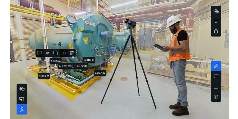
16th April 2025
Introducing Blink by FARO Technologies: Reality Capture Reimagined with Stunning Visuals, Automated Workflows and One Touch Insights
15th April 2025
Field Geospatial Enhances Global Leadership with Cutting-Edge RIEGL Mobile Mapping Technology in the Nordic Regions
15th April 2025
Bentley for Government Software Now Listed on FedRAMP Marketplace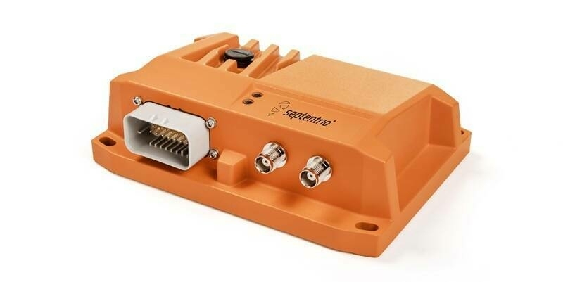
14th April 2025
Septentrio, part of Hexagon unveils AsteRx RB3 and RBi3 ultra-rugged receivers
14th April 2025
Fugro and Spoor create new AI bird-monitoring solution for offshore wind farms
10th April 2025
Pix4D and Prostar Partner to Provide Precision 3D Augmented Reality of Critical Underground Infrastructure Worldwide
10th April 2025
Bentley Systems Partners with Google to Improve Infrastructure Through Asset Analytics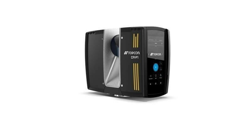
9th April 2025
Topcon introduces solutions for 3D mass data workflows
9th April 2025
Seyond and Reykjafell Partner to Bring Seyond’s ITS Management Platform to Iceland

8th April 2025
GomSpace adds space traffic management from Neuraspace to its HOOP satellite operations platform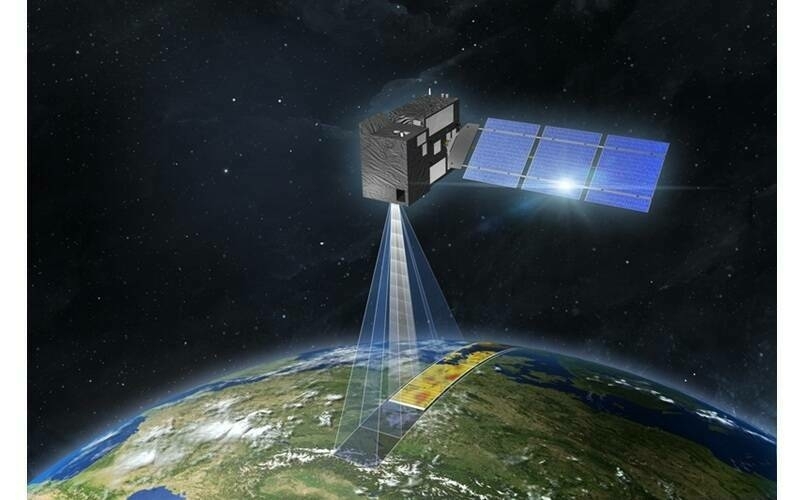
8th April 2025
Telespazio-led Consortium to Automate Space Operations with AI, Enhancing Mission Efficiency
7th April 2025
Visimind AB Becomes Official Distributor of Hesai’s Cutting-Edge LiDAR Sensors in Europe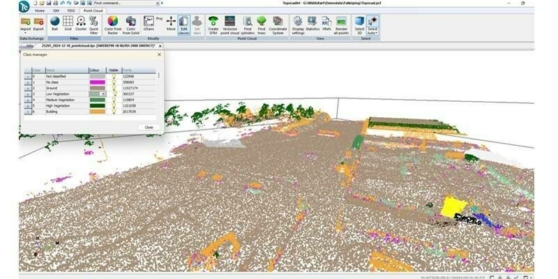
7th April 2025
Topocad 25 – Packed with innovation and exciting new features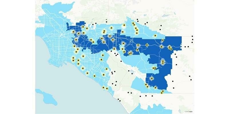
4th April 2025
The Esri–or–Code Dilemma: A New Wave of GIS Tools Offers a Third Way
4th April 2025
Teledyne CARIS to showcase innovative marine solutions at Ocean Business 2025
4th April 2025
NanoAvionics Secures €122.5M Contract to Build 280 Satellites for Meridian Space, SpinLaunch’s Global Broadband Constellation
3rd April 2025
BIRD Aerosystems Obtains STC Certification for the Installation of Its SPREOS DIRCM on AIRBUS A319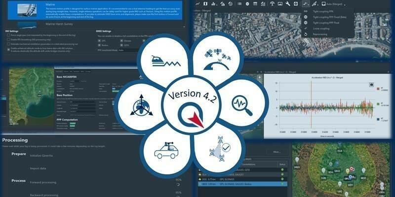
3rd April 2025
SBG Systems Releases Qinertia 4.2 – The Next Evolution in Post-Processing Software