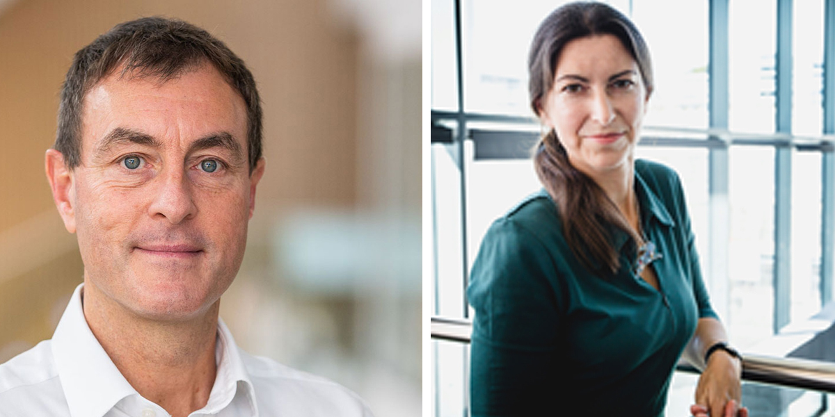
GeoConnexion wondered what 2024 holds for Ordnance Survey, Britain’s national mapping agency, and put the question to John Kimmance, its Managing Director of National Mapping Services, and Donna Lyndsay, its Strategic Market Lead for Sustainability

GeoConnexion (GEO): What do you think is going to be new in 2024?
John Kimmance (JK): It’s not new, but the role of location in supporting solutions for sustainability is becoming increasingly critical as the planet tries to understand the ongoing impact of climate change. OS already has a proven track record in innovating and partnering sustainability initiatives. At one level, we have the Supply Chain Data Partnership, of which OS was a founding member, looking to improve transparency in the supply chain globally, and then in Britain we have examples of how OS is working with public sector customers on national and local sustainability projects. One such example is the Greater Manchester Ecology Unit, where its adoption of the OS NGD has enabled huge advances in mapping natural habitats for its Local Nature Recovery Strategy.
One of the most significant impacts of climate change is flooding, with a greater risk to communities in coastal and lower lying areas. Accurate location data is vital for the prevention, planning, response and recovery of these incidents and OS has a long history of supporting local authorities and emergencies in this. Most recently, OS played a role in a storm and flooding exercise with Local Resilience Forums and emergency services, where the crucial question everyone wanted an answer to was where. OS remains on call 24/7 with its mapping for emergencies service, whether for a natural emergency or security threat.
Another focus for OS is health and wellbeing. I think the concept of the 20 minute neighbourhood will become part of a louder conversation as we recognise that transport contributes to around 26% of greenhouse pollution. An initiative that means individuals can do their bit for sustainability by leaving their cars behind and also keep themselves active and more healthy is going to gain greater momentum and has already been adopted in cities across the world. OS data has been used in a project in Scotland to explore this; and our teams have supported NHS England in an initiative to map neighbourhood walkability.
Donna Lyndsay (DL): Validation and verification processes are going to grow in significance for companies as they wrangle new regulations and disclosures that affect their corporate reporting. These regulations are increasing focus on sustainable practice, emissions, environmental impact and climate risk. We need to have trusted monitoring, reporting and verification systems in place, which must be objective and transparent. Confidence must be restored in the accuracy of claims made in the voluntary carbon credits market. We can achieve this now by combining monitoring capabilities from space (Earth Observation), air and ground data collection. OS VeriEarth®, which was launched last year, combines satellite and ground-based data with location intelligence to create and visualise a baseline of a habitat in a target location.
We may also see greater citizen engagement as technology enables companies to understand individual values through digital fingerprinting and AI capabilities, in turn leading to a greater need to protect individuals’ data from being harvested. AI will enable mass efficiency savings in the processing of data to enable patterns to be identified faster for predictive and preventative measures, such as to ensure appropriate use of land and the reductions of harms. An example of this will be the impending mandatory requirements for Biodiversity Net Gain in England. But the quality of data used to inform the AI will be critical to ensure that the insights created by AI models can be checked or validated and the provenance of training data, specifically ground truth data is known, otherwise we run a real risk of bias and skewed results leading to poor outcomes.
Encouraged by the successes of last year’s COP28 we will see greater global corporate collaboration in the move forward to drive systematic change and to help the markets become a protective force. There will be significant battle lines drawn from those who resist the transition to those who see great opportunity and the need to change. The winners will be responsible for our planet’s future.

GEO: What's going to stay the same in 2024?
JK: A trend I mentioned last year, which is significant for businesses and the geospatial industry, is the continued adoption of, and focus on, AI in all facets of life and industry. And with that, people are going to look for trusted organisations to underpin their understanding and decision-making with authoritative data.
For a number of years, we have been researching and piloting AI and Machine Learning within OS, which is centred on our data capture operations and how we can use the technology to deliver richer specification and more timely data to support our customers. Two examples are automated change detection and automated feature extraction. Through projects in both Great Britain and overseas (Zambia) we have seen the benefit that these technological advances can bring to our data capture operations. As well as the benefits which are passed on to our customers.
This year will see AI further embedded, playing a significant role in the creation of some of our new products.
DL: I think it’s clear that the relationship between EO (Earth Observation) and Geo (geospatial data) will remain critically important. At OS we are working on several projects to help customers get more insight and detail from this information. EO data can show many things, but to make informed on the ground decisions, it needs context. This is where accurate geospatial data can support. By providing a geospatial lens, users can see the detail and the true impact.
One good example of this is heat mapping information. In a project backed by the UK Space Agency, OS collaborated with the National Centre for Earth Observation, using satellite data to monitor and map heat in urban locations. The aim was to provide meaningful insights for policymakers to manage the impacts of climate change in hot spots across the UK and further afield. Geospatial data can be combined with other datasets such as climate data to unlock insights into the impact of climate change. One of the outcomes was to show definitively that the presence of vegetation in urban neighbourhoods means these areas are much cooler than those without. Higher levels of tree cover and green space - or both – can make a drastic difference to temperature. This helps planners conclude that the future mapping of cities must include more green space and cover to help mitigate the risk of serious heat events.
GEO: What would you like to change in 2024?
JK: All businesses and organisations, whether private or public sector, need to continually change and embrace new technologies. In recent years OS has transformed how our data is stored, accessed and used by our customers through the NGD. While we have already seen customers using and getting value from new products and services, there are users still to adopt the NGD within their organisations. I would urge any interested customers to contact us and we can support them on their geospatial journey.
I would also like to see greater recognition of the importance of location in large infrastructure projects. It is often considered far too late in the process, as there is still a limited awareness of the significance of geospatial data amongst non-specialists. One example of this is the ongoing roll-out of 5G networks. How can providers ensure that all areas of the country and communities can benefit rather than select cities and towns?
We believe location can enable more effective planning and delivery, from optimising the location of assets, to understanding population and movement of citizens. In another tech roll-out, OS was enlisted to help Government agency Building Digital UK level up the connectivity of lightning-fast broadband to hard-to-reach homes all over Britain. A new routing model was created using OS Highways, Roads and Paths data combined with datasets on addressing, routes and buildings to better understand those remote communities. Trusted location data should be an essential tool in any planning process. Understanding what is where, and therefore what is needed, is crucial.
DL: There are some key things I learnt from COP28 and that I would like to see actioned in 2024 to meet the climate challenge we will all face. There are a lot of Cs in COP; Climate, Carbon even conflict of opinion. But the 3 C’s I’d like to take forward in 2024 are:
Collaboration. COP is an unusual environment, but it is an amazing place to meet new and old friends from totally different sectors and disciplines around the world who have a common interest in driving the change to ensure we all have a fighting chance to save nature and humanity. What is clear is the urgent need and want across those I met to collaborate on a scale never seen before, breaking silos down to ensure we can mobilise the skills and technologies needed.
Communication. It also became clear that many of us have been shouting in our own echo chambers- not sharing the intelligence needed by others wide enough. Talking to the finance sector it became very clear that space and geospatial data have not done enough to communicate the value of, and access to, our data to these sectors who really need it. We really need to find a way to communicate what we do far better to those outside our industry.
Call to action. Beyond talking, we must now move forward faster than ever before and that will take effort and funding. Frustration was often heard from those with either transformative technologies or on the ground projects delivering results - many of which seem to be unable to move beyond Proof of Concept or grant funding to scale fast. They cited corporate investment need for high returns as a barrier to early investment, which of course means corporates can’t also support Not for profit enterprises. I met several who need to scale fast so if organisations want to really put their money where their mouth is and truly make a difference, then get in touch, I know some companies and organisations who really need help.
So, I move on from 2023 into 2024 with hope that the people I met have the will, the want, and the capacity to drive forward. I just hope we can do it fast enough.
Subscribe to our newsletter
Stay updated on the latest technology, innovation product arrivals and exciting offers to your inbox.
Newsletter

