Ships are still emitting too much nitrogen oxide. Until now, it has been impossible to measure this at sea, but that is set to change. Dr. Solomiia Kurchaba has combined satellite data with newly-developed algorithms to identify which ships are emitting too much
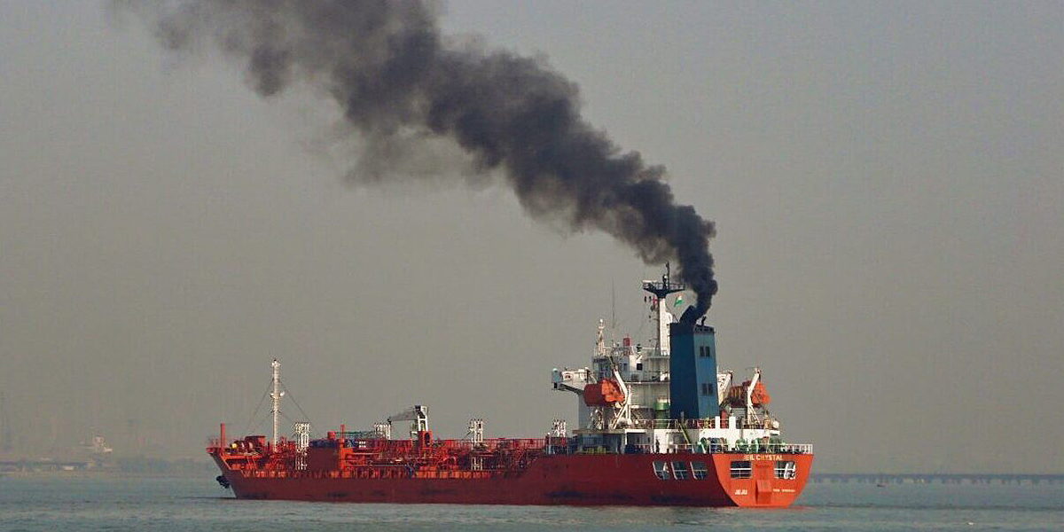
While cars, power plants, and industries are reducing their nitrogen oxide emissions (NOx), the shipping industry is lagging behind. Despite stricter emission regulations for new ships, emissions have barely decreased. Nitrogen oxides cause smog and acid rain, harmful to humans and nature. The International Maritime Organization (IMO) aims to regulate emissions from ships, but this is challenging.
The Ukrainian Solomiia Kurchaba, who studied econophysics and theoretical physics in Poland, explains, "In ports and along the coast, emissions can be measured, but on the open sea, it's not feasible. You can't tell what type of fuel a ship is using or how much nitrogen oxide it is emitting."
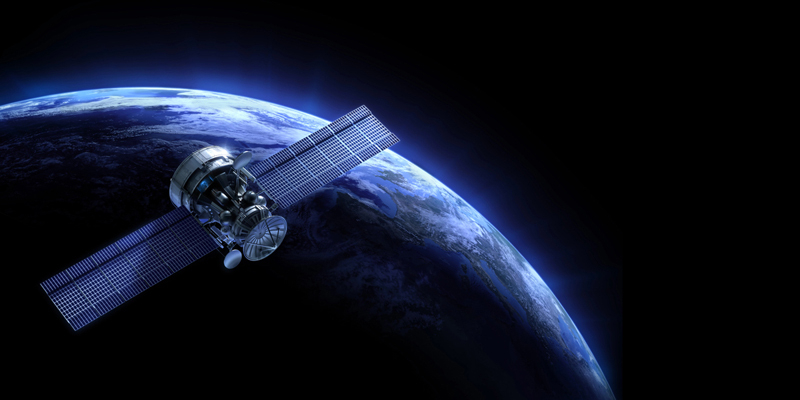
But now there is the satellite instrument TROPOMI, led by the Royal Netherlands Meteorological Institute (KNMI). Since 2017, it has been orbiting the Earth every 100 minutes, measuring various compounds in the lower atmosphere, including methane, ozone, carbon monoxide, and nitrogen dioxide (NO2).
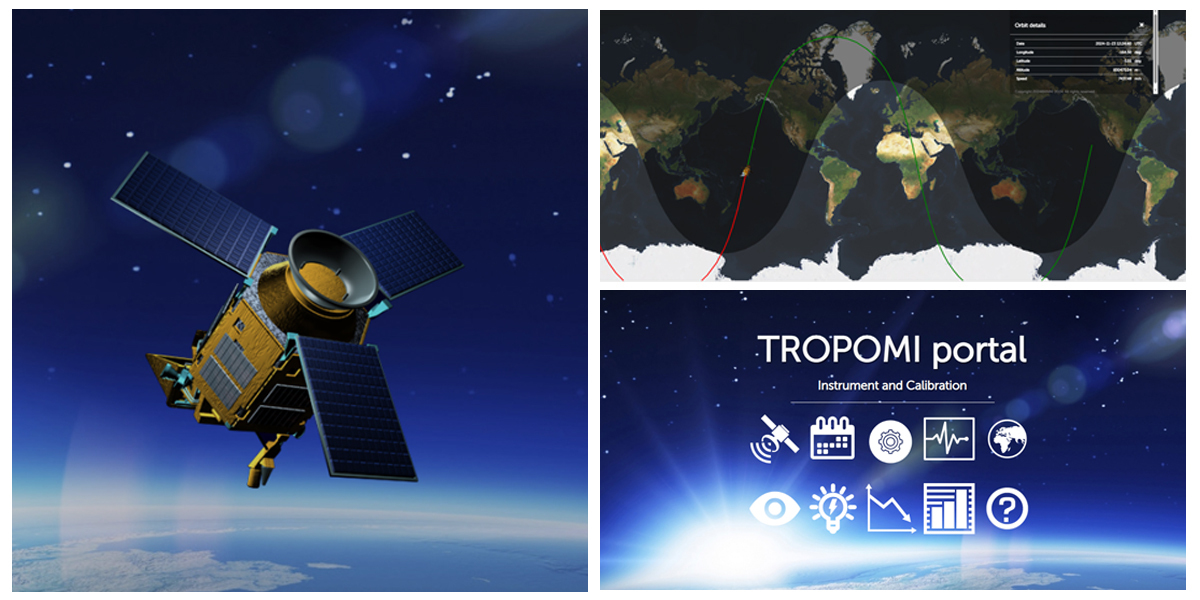
Kurchaba says, "Every day, it creates complete global maps with which you can monitor compounds related to air quality and climate. With this instrument, we can map air pollution by country and even by city."
From the data one can infer emissions from activities like biomass burning or coal mining, as well as from shipping. "When I started my research in 2019, it had just been revealed that Tropomi could detect NO2 plumes from some individual ships," Kurchaba adds.
A promising discovery, but one with caveats. "The data were noisy, and it's hard to isolate ship emissions from the rest of the data. Moreover, not all ship plumes are distinguishable. Perhaps from the largest ships, but how far can you go?"
This challenge was the basis of Kurchaba's doctoral research. "I had to develop methods, based on machine learning, that not only allow us to automatically detect the ship plumes, but also to identify from which ship they come and whether that ship is emitting more than expected."
Kurchaba merged TROPOMI's data with additional information on ship movements and developed algorithms to extract the relevant details. "I'm proud of the result. We started with nothing, and now we have a solid foundation that brings the monitoring of ship emissions based on satellite data much closer. There is still research to be done to see how much we can improve the extraction quality from the satellite signal. Perhaps other compounds could help us better 'trace the ship traces.'"
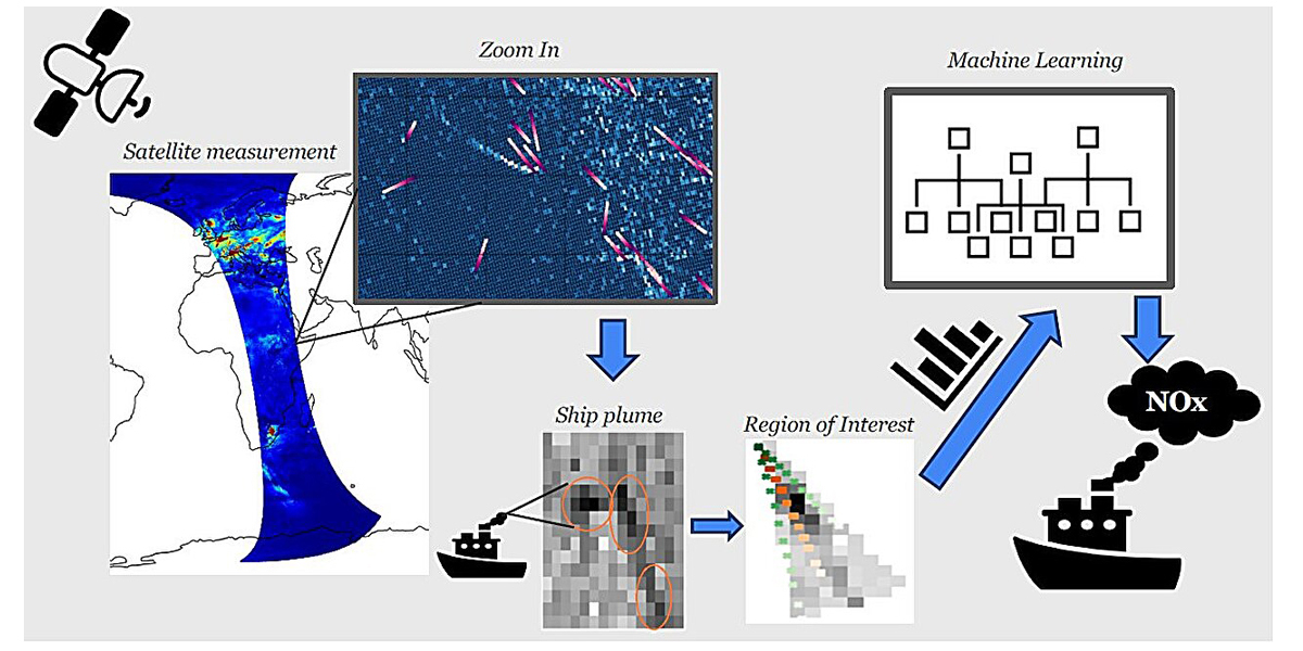
Once the system is implemented, the Netherlands' Human Environment and Transport Inspectorate (ILT) will be able to use it. "Inspectors could then board ships identified as anomalous emitters and check the fuel quality and how the engines are set up, for example," says Kurchaba.
It was sometimes quite challenging to solve all the problems she encountered, Kurchaba says. But she's not had enough of TROPOMI. "At SRON Netherlands Institute for Space Research, I'm currently working with TROPOMI data on methane. I'm developing methods using machine learning to detect methane plumes from super-emitters like coal mines, landfills, and the oil and gas industry."
More information: Thesis: Solomiia Kurchaba, Machine learning-based NO2 estimation from seagoing ships using TROPOMI/S5P satellite data
Provided by Leiden University
Subscribe to our newsletter
Stay updated on the latest technology, innovation product arrivals and exciting offers to your inbox.
Newsletter