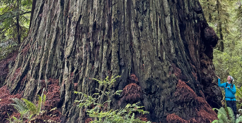
From tape measures to space lasers: Quantifying biomass of the world's tallest forests
16th April 2024
From tape measures to space lasers: Quantifying biomass of the world's tallest forests
16th April 2024
From tape measures to space lasers: Quantifying biomass of the world's tallest forests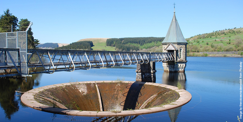
4th April 2024
New water planning tool can forecast supply and demand issues up to 2055
27th March 2024
Evidence-based urban planning starts with EO
25th March 2024
Research reveals global wildfire risk trends in Wildland–Urban Interface areas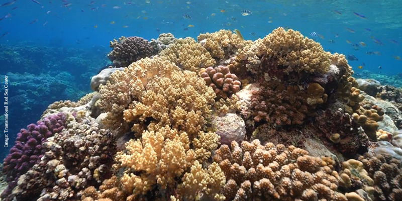
21st March 2024
AI-powered system maps corals in 3D in record time
14th March 2024
Unveiling understory saplings with advanced airborne LiDAR technology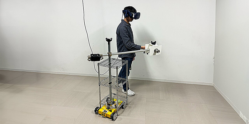
13th March 2024
Opening new doors in the VR world—literally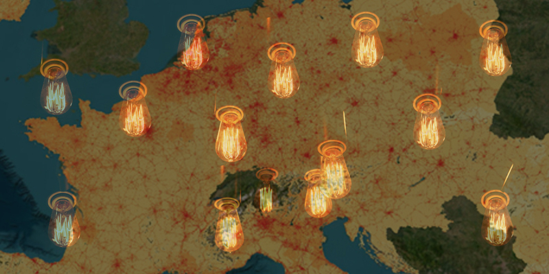
11th March 2024
New atlas will help shape EU’s future energy needs
9th March 2024
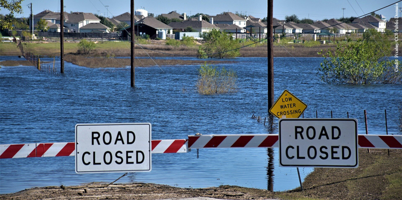
Flood risk mapping is a public good, so why the public resistance in Canada?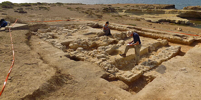
7th March 2024
Lost tombs and quarries rediscovered on British military base in Cyprus
28th February 2024
How Apple Air Tags help the military on the move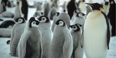
4th February 2024
Four new emperor penguin colonies found by satellite
2nd February 2024
High-tech aerial mapping reveals England’s hedgerow landscape
30th January 2024
Fraunhofer IOF presents high precision double slit for space spectrometer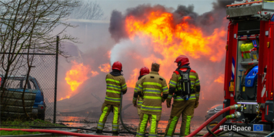
26th January 2024
Galileo Emergency Warning Satellite Service is underway
17th January 2024
Assessing the accuracy of a remote sensing tool to support satellite-based water management
16th January 2024
EU observatory on global deforestation goes live
10th January 2024
Miros driving change and staying ahead of the wave in 2024
4th January 2024
New research harnesses AI and satellite imagery to reveal the expanding footprint of human activity at sea
3rd January 2024
NASA Sensor Produces First Global Maps of Surface Minerals in Arid Regions