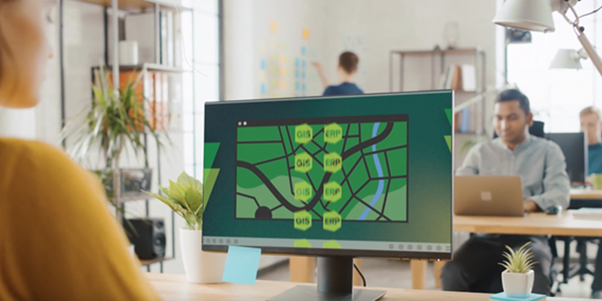
Organizations have an opportunity to bring GIS technology into the foreground to deliver new ways of working says Drew Millen

Digital maps have empowered everyone to travel safely, have clarity of their whereabouts, and even estimate their expected arrival time. The same technology helps organizations get the maximum value from their data, improve business processes, and reduce supply chain disruptions. However, organizations can only realize these benefits if they integrate their core enterprise resource planning (ERP) software with geographic information systems (GIS) technology.
Telcos, utility firms, energy providers, infrastructure operators, manufacturers, government and federal bodies have large numbers of physical assets; some are buried or perhaps mounted on the roof of a grain silo, and others exist within complex buildings. Understanding the spatial relationship between assets, as well as with other machines, business processes, customer outcomes, and the businesses’ revenue is vital.
Whilst it is important to visualize these assets, GIS mapping technology enables organizations to improve their understanding of the asset interactions, to analyze their performance and better understand the impact they have on the business.
Making a visual difference
Many say that working with a visual representation of their assets is more enjoyable than studying spreadsheets or purely alpha-numerical UIs of business systems. This is a more serious point than it might first appear. When GIS technology is embedded into an ERP system, both sources of data are united at the fingertips of the end user, reducing duplicate data entry and providing them with a deeper and richer level of insight from which to make decisions.
When integrated, GIS and ERP technologies provide a holistic view of business processes and vastly improve business workflows, as end users gain access to key financial and business data alongside location-specific information of an asset. As organizations tackle supply chain disruptions and geo-political and economic challenges regularly, we are seeing an increased demand for strong integration between GIS and ERP systems.
Other frontline enterprise applications can also be integrated with GIS-based tools. In these cases, GIS data is the connecting tissue. Within the myriad of databases an enterprise operates, there is geographic information; these include stores of supplier data, financial transactions, and equipment details. Integrating systems visualizes this data for users, making it easier to comprehend – and identify patterns of behavior or market trends.
With a visual view, both GIS and ERP team members can see when a new customer is looking to connect their solar panels to the grid and needs to be added to billing systems for remuneration and invoicing, for example. A seamless process can be put in place to ensure work crews and finance processes easily click into place for the client. In the medium to long term, this can increase customer satisfaction and reduce customer churn.
These collaborative benefits extend beyond the office; the GIS technology that a field service crew is using is also available to customer support staff, so if there is a challenge, then both workforces can share data effectively, safe in the knowledge that they are looking at the same information. This increases customer satisfaction, while removing barriers to productivity. At the same time, this integration reduces manual processes for the end-user.
Business benefits of integration
GIS-based tools provide a multitude of business benefits, and when integrated into other enterprise systems, they increase the ability of the business to perform accurate analysis and extract more value from business data.
For example, the solutions we have delivered have reduced supply chain risk in global automotive manufacturing. The automotive sector relies on thousands of suppliers, whose data can become lost in companies’ ERP databases. However, by mapping supplier ERP data, automotive companies can visualize their supply chain. With further integration of commercially available risk data, it is subsequently possible for an automotive manufacturer to see how natural disasters or political disruptions can increase supply chain risk, and how these can become a single point of failure. The organization can then mitigate this risk by formulating a backup supplier strategy. In this case, GIS data is used by board-level decision-makers, but this information can be made available to almost everyone in the organization.
Organizations that have successfully integrated GIS and ERP solutions have benefitted from increased enterprise data quality, whilst the visualization of data helps people make more informed decisions.
Unfortunately, organizations are often reticent about integrating their GIS data with core ERP platforms. This risk-averse approach can, ironically, lead to future risks. As per the above example, organizations with a well-integrated GIS solution and ERP systems have a greater awareness of how their business, assets, and suppliers are performing. Without integration, companies risk being tripped up by redundant data, subsequently poor data quality, and insufficient collaboration between colleagues and departments.
These inefficiencies all lead to a lower acceptance of the ERP system, a significant investment that forms the backbone of the business.
Delivering a vertical view
It is vital that organizations work with specialized GIS teams with vertical market expertise when looking to integrate GIS and ERP technologies. This combines leading domain knowledge with industry-leading intellectual property, enabling organizations’ problems to be fully understood, whilst providing maximum value. This is not possible if an organization tries to be all things to everyone.
Organizations have an opportunity to bring GIS technology into the foreground to deliver new ways of working. This increases data quality, business efficiency, asset management, and, ultimately, customer service. Today digital mapping technology and interconnected data have become the everyday norm; it is time that the same level of visual clarity becomes second nature within enterprises, using integrated GIS and ERP technologies.
Drew Millen is CTO at VertiGIS, the London, UK-based business that creates industry-leading technology that advances spatial visibility into assets – across industries and across the globe.
Subscribe to our newsletter
Stay updated on the latest technology, innovation product arrivals and exciting offers to your inbox.
Newsletter

