Communicating geological data between digital systems requires a common way of representing geological data – a geology data model. A number of continental and national data models have been developed and used over the years, but their differences pose obstacles to sharing, aggregating and comparing geological data. â©
To improve the ability to query and exchange digital geoscientific information between data providers and users, GeoSciML defines not a database structure but a non-proprietary, vendor-neutral format for geoscience electronic data interchange. By using this format, organisations can provide a GeoSciML interface to their existing database systems, with no restructuring of their internal databases. â©
The primary goal of the OGC GeoSciML Standards Working Group (SWG) is to simplify the implementation of the latest standard, version 3. The conceptual model is large and complicated, and is implemented in 13 separate application schemas. GeoSciML v4 will have only five application schemas, ranging from a basic core package to more complex extension schemas. Depending on their application requirements, users can choose to implement the simple GeoSciML-Portrayal (which supports layer-based Web Map Services (WMS) and simple Web Features Services (WFS) based on the OGC’s encoding standards), basic GeoSciML or more complex application schemas. â©
The simplest use-case involves delivery of a basic geological map, showing age and type of rocks. This level of use-case is all that’s required in many workflows. Medium level use-cases are those that require more complete geological unit and rock descriptions and timescale information. The complex extension GeoSciML application schemas enable encoding of full geological sampling information, including geochemical and physical properties.â©
Considerable effort is being applied to document GeoSciML v4 to support wider implementation of the standard. â©
Uptake in the user communityâ©
Visitor data from the GeoSciML SWG website suggests uptake is mainly in Europe. However, major data sharing initiatives across the world are helping to raise awareness and increase implementations by adopting GeoSciML as their data transfer standard. â©
A major driver in Europe for using GeoSciML is INSPIRE, which uses GeoSciML as a recommended geology standard data exchange standard. GeoSciML v3.2 covers all the INSPIRE use-cases and much more. The planned new ‘basic’ module of GeoSciML v4.0 represents INSPIRE’s minimum requirements for geological data exchange.â©
In the US, the Geoscience Information Network has been set up by the USGS, state geological surveys and a group of universities for sharing geological data. They use GeoSciML and GeoSciML-Portrayal as their data standard for exchange and portrayal of geological maps and data.â©
Canada uses GeoSciML in the Canadian Groundwater Information Network and has developed GroundWater Markup Language (GWML, which extends GeoSciML to describe hydrogeological features. In Australia and New Zealand, the Government Geoscience Information Committee and the AuScope project have adopted GeoSciML as the geological data transfer standard.â©
All of the above national and international data sharing initiatives have been strong testing grounds for the development of GeoSciML and OGC web standards.â©
Call to actionâ©
Members of the GeoSciML SWG would like more people and organizations to get involved. The effort to document GeoSciML v4 and have it adopted as a formal OGC data application standard through the OGC SWG process will be accompanied by outreach to national geology surveys, universities, and commercial and government organisations that use geoscience information.â©
GeoSciML prepares the way to data mining and high performance modelling of geological data. GeoSciML will deliver the source data to do modeling as well as ground-truthing of geophysical data. â©
The GeoSciML SWG invites presentations from universities regarding projects to describe geological data. Such presentations help build use-cases that are useful in refining the standard. Input from practising geologists to learn more about what they want to do with the standard would also be very useful. â©
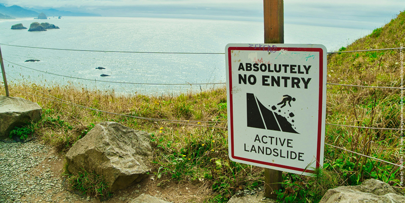
There are many components that need to be tested and explored for the capabilities they provide. For example, the GeoSciML Geomorphology land surface module describes material that is unconsolidated, such as sand, soil, till, alluvial deposits and wet sediments, and is particularly applicable to analysis of geological hazards such as landslides. The GML foundation of GeoSciML provides for efficient analysis of spatial relationships between geology and other geosciences. â©
There is a vast new unexplored territory here for researchers, both in developing methods and creating new knowledge of Earth systems!â©
Oliver Raymond is chair of the OGC GeoSciML Standards Working Group
Subscribe to our newsletter
Stay updated on the latest technology, innovation product arrivals and exciting offers to your inbox.
Newsletter

